Western Usa Pictures, Images and Stock Photos
Browse 1,791,700+ western usa stock photos and images available, or search for montana or western usa map to find more great stock photos and pictures.
Most popular
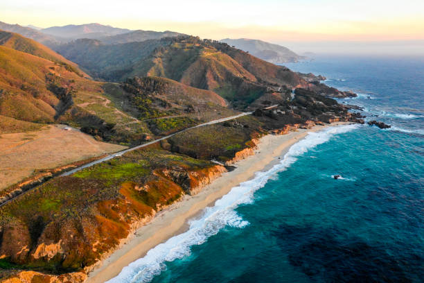
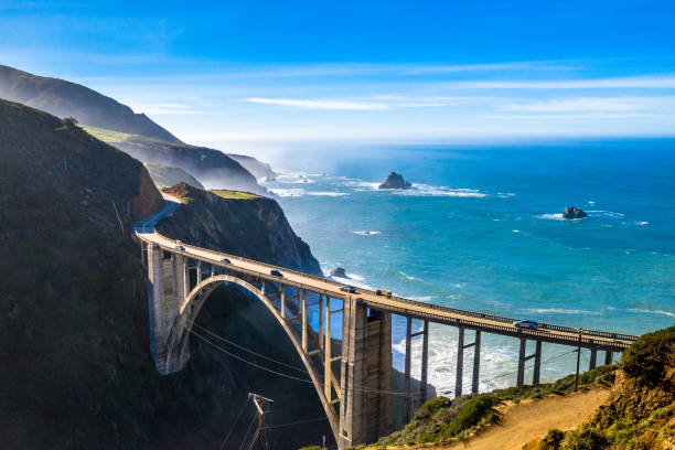
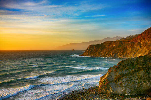
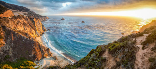
The pacific ocean at Big Sur, California
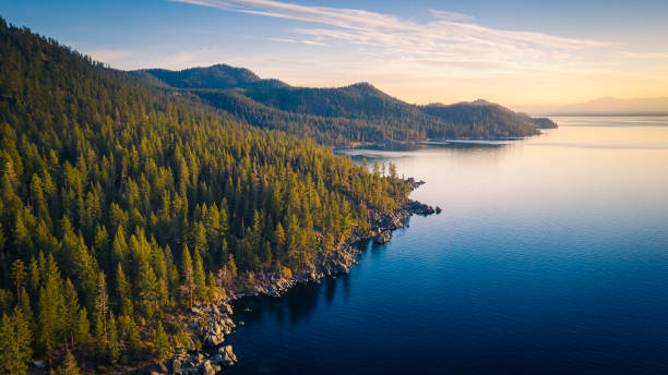
Aerial View of Lake Tahoe Mountains and Turquoise Blue Water, California, USA
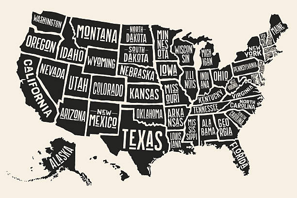
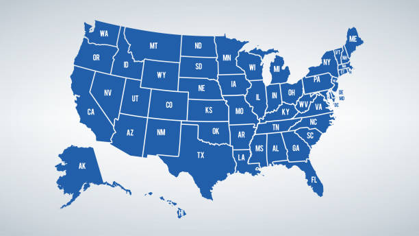
Poster map of United States of America with state names. Black and white print map of USA for t-shirt, poster or geographic themes. Hand-drawn black map with states. Vector Illustration
Vector illustration
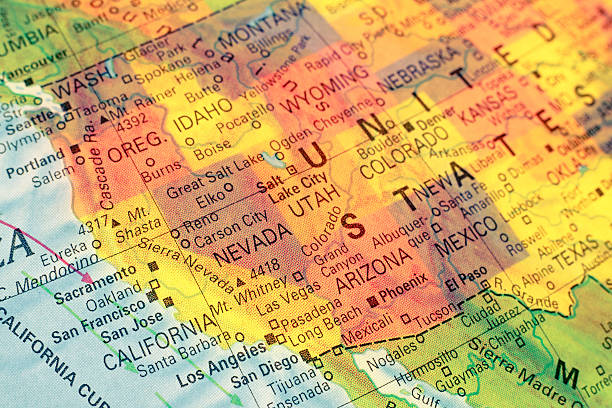
Map North West USA . Close-up macro image of map North West America. Selective focus

Poster map of United States of America with state names. Print map of USA for t-shirt, poster or geographic themes. Hand-drawn colorful map with states. Vector Illustration
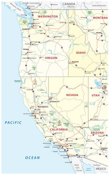
Roads, political and administrative vector map of the Western United States of America with National Parks

Scenic view of world famous Highway 1 with the rugged coastline of Big Sur in beautiful golden evening light at sunset in summer, California Central Coast, USA
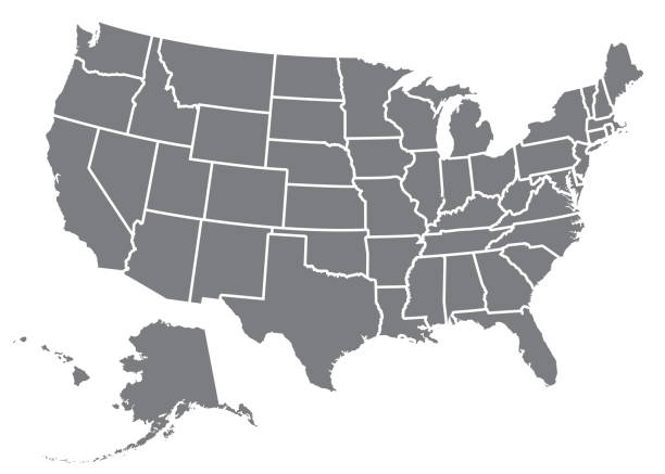
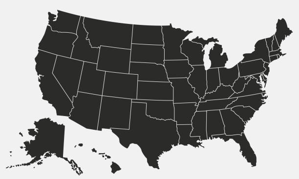
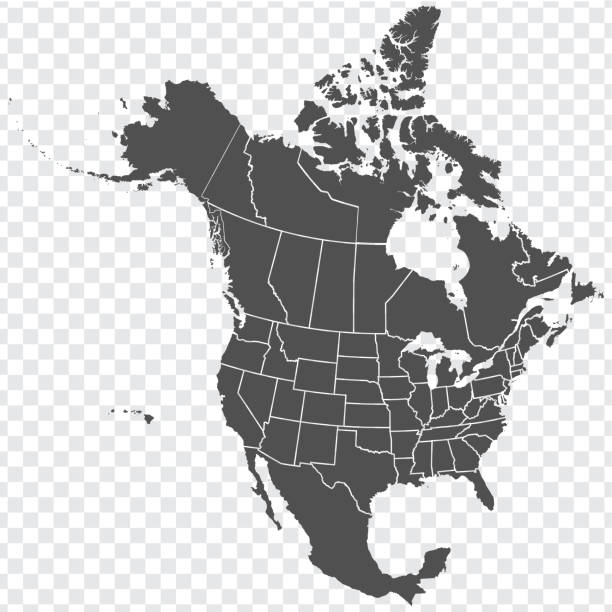
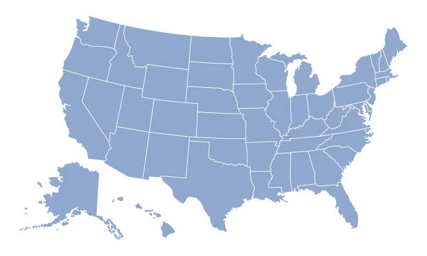
A silhouette of the USA, including Alaska and Hawaii. File is built in CMYK for optimal printing and the map is gray.
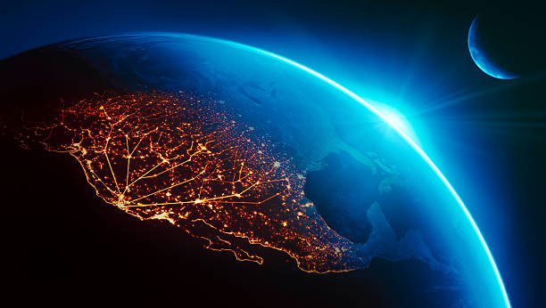
California (Silicon Valley) connected to night lights of US west coast as sun rises.Globe maps courtesy of NASA:
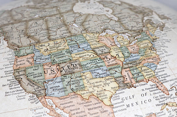
A close-up/macro photograph of the United States of America from a desktop globe. Adobe RGB color profile.
USA region map. Each part of the USA separated into it's own region. Includes outlines of every US state in it's own layer.
Vector USA colors map with borders of states and shorts name of each states.
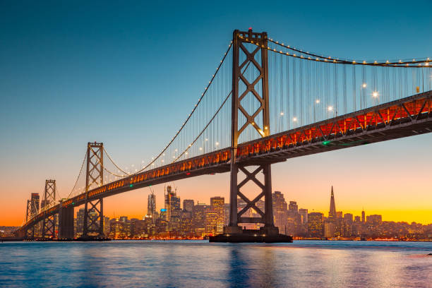
Classic panoramic view of San Francisco skyline with famous Oakland Bay Bridge illuminated in beautiful golden evening light at sunset in summer, San Francisco Bay Area, California, USA
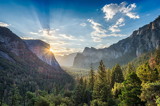
Sunrise at the tunnel View vista point at Yosemite National Park
The beautiful and unique coastline of central California near Big Sur along US 1 at dusk.
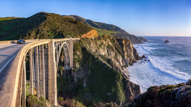
View from the Bixby Bridge shore line near Big Sur
Vector usa map america icon. United state america country world map illustration.
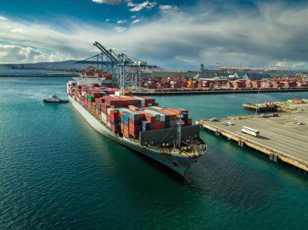
Aerial shot of a massive cargo ship arriving in the Port of Long Beach, California.
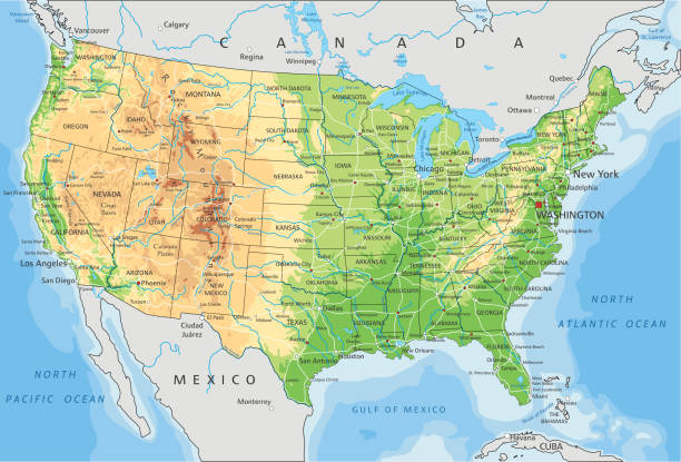
High detailed United States of America physical map with labeling. Organized vector illustration on seprated layers.
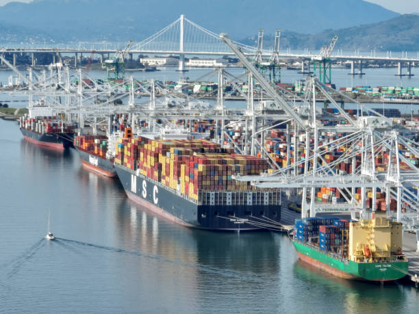
Vessels and cranes at the Port of Oakland container terminal in Oakland, California.
Panoramic view of beautiful Big Sur coastal landscape in beautiful golden evening light at sunset with dramatic clouds in summer, California, Monterey County, USA
Vector illustration

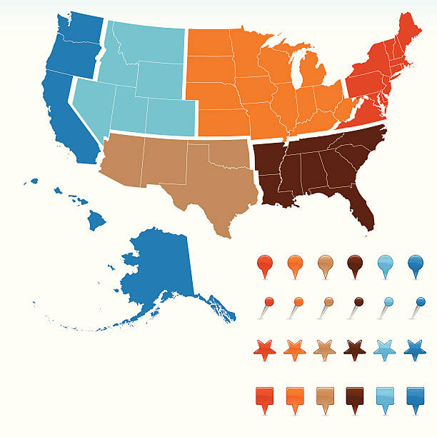
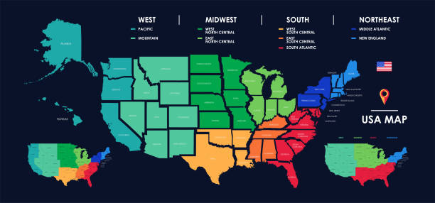
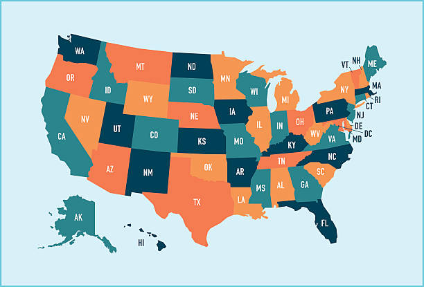
United States, geographic regions, colored political map. Five regions, according to their geographic position on the continent. Common but unofficial way of referring to regions of the United States.
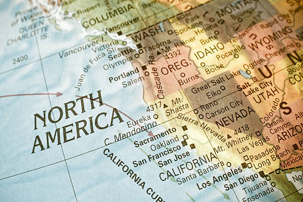
Map North West USA . Close-up macro image of map North West America. Selective focus

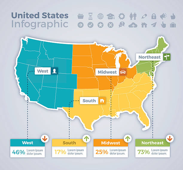
United States infographic map concept with space for your copy. EPS 10 file. Transparency effects used on highlight elements.
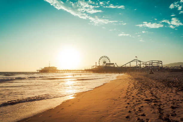
Sunset in Santa Monica, view on the amusement park
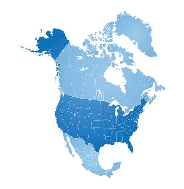
Map of North America with countries, states on white background
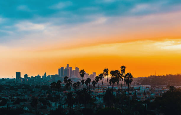
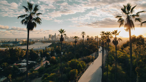
Downtown Los Angeles skyline at sunset with palm trees in the foreground

Geographic regions of the United States, political map. Five regions, according to their geographic position on the continent. Common but unofficial way of referring to regions of the United States.
Los Angeles, California, USA - October 9, 2021: Cargo Containers being offloaded at the Port of Los Angeles
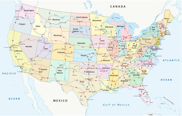
us interstate highway, administrative and political vectormap
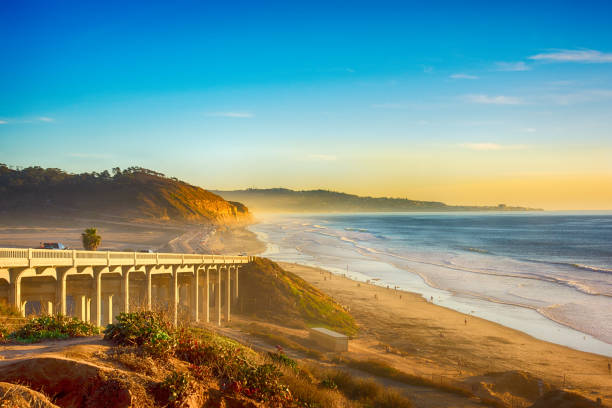
A bridge on the 101 along the beach in Del Mar, California, located just north of San Diego.
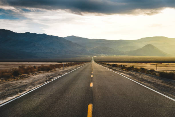
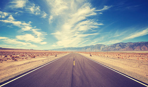
Desert Highway at Death Valley National Park, California, USA.
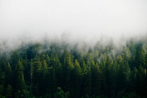
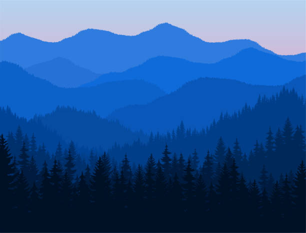
Foggy redwood and evergreen forest in the mountains of the Pacific Northwest
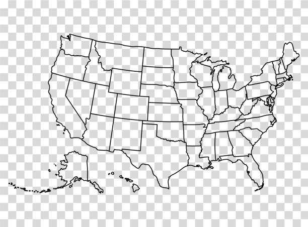
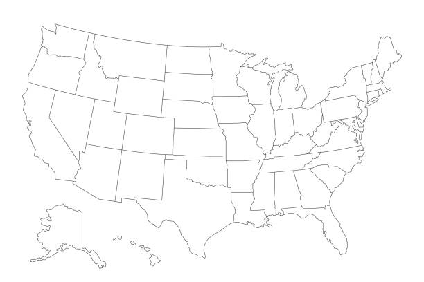
Map of the United States in outline on a transparent background. Vector illustration in HD very easy to make edits.
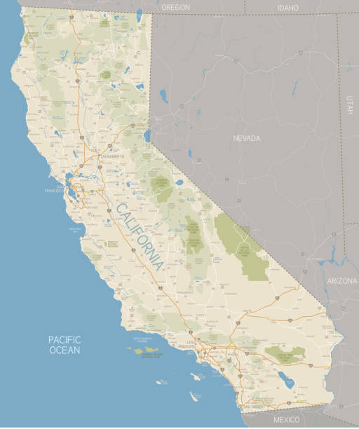
A detailed map of California state with cities, roads, major rivers, and lakes plus National Parks and National Forests. Includes neighboring states and surrounding water.
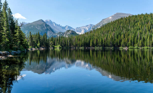
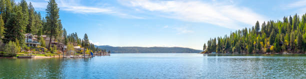
Longs Peak and Glacier Gorge reflecting in blue Bear Lake on a calm Summer morning, Rocky Mountain National Park, Colorado, USA.
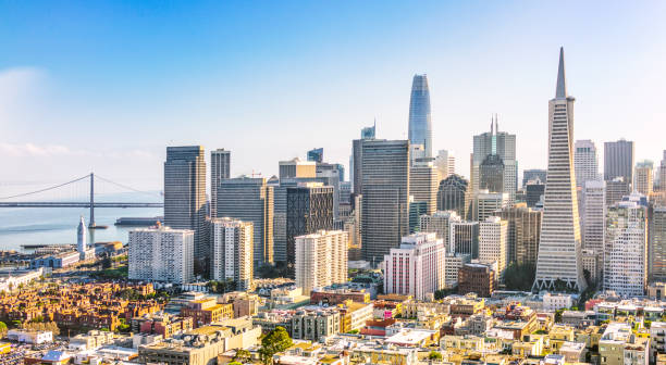
A panoramic view from above San Francisco's financial district on a bright sunny day.
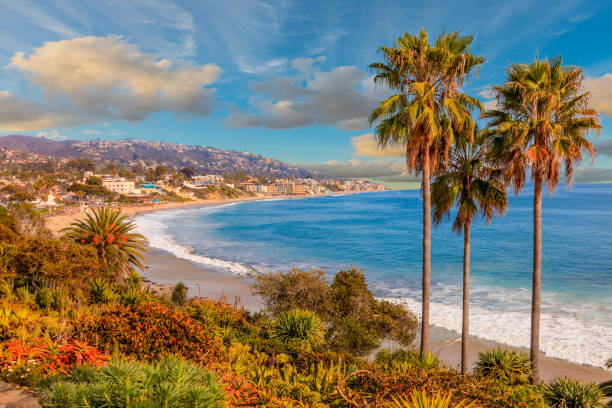
peaceful getaway; refreshing location; summer adventure; tropical usa; seashore vacation
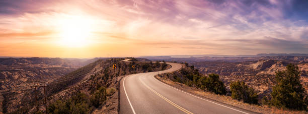
Panoramic View of a scenic route on top of a mountain ridge in the desert. Colorul Sunset Sky Art Render. Taken on Route 12, Utah, United States of America.
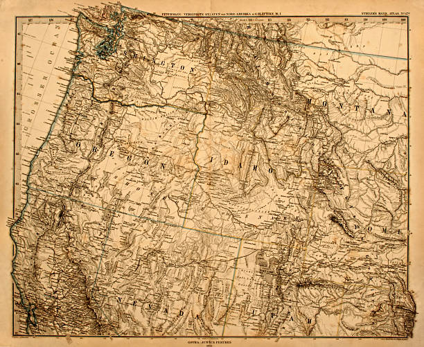
Original vintage map of the US Pacific Northwest printed in 1875.
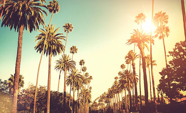
sunset blvd on los angeles
Colorful stylized vector map of the United States of America with state name abbreviations labels. All 50 states can be individually selected.
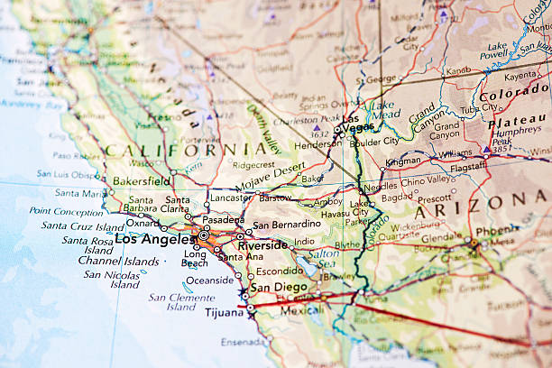
Photo map of Los Angeles California. Shallow depth of field, focus on the Los Angeles city of the map and the area nears it.
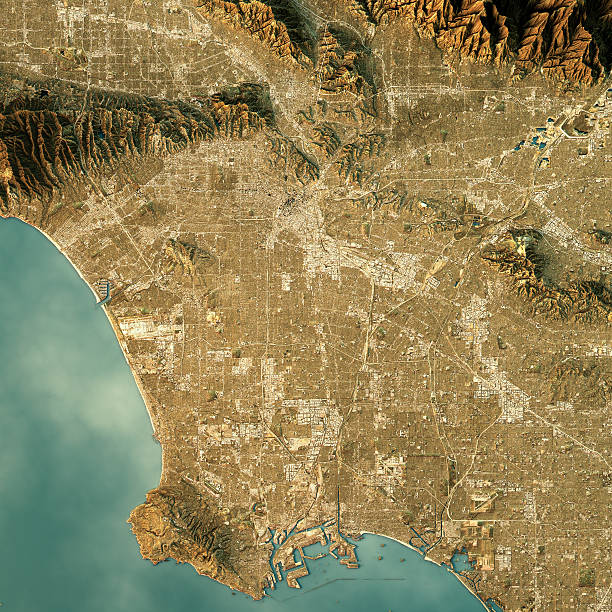
3D Render of a Topographic Map of Los Angeles, California, USA.
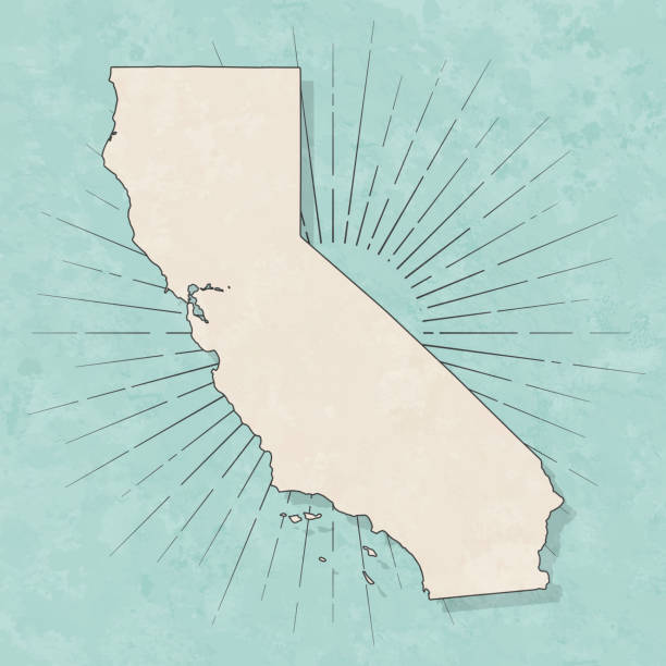
Map of California in a trendy vintage style. Beautiful retro illustration with old textured paper and light rays in the background (colors used: blue, green, beige and black for the outline). Vector Illustration (EPS10, well layered and grouped). Easy to edit, manipulate, resize or colorize.

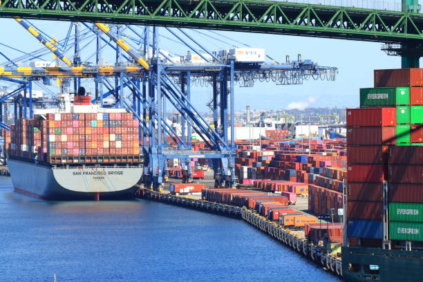
Aerial view of the Long Beach and Los Angeles ports.
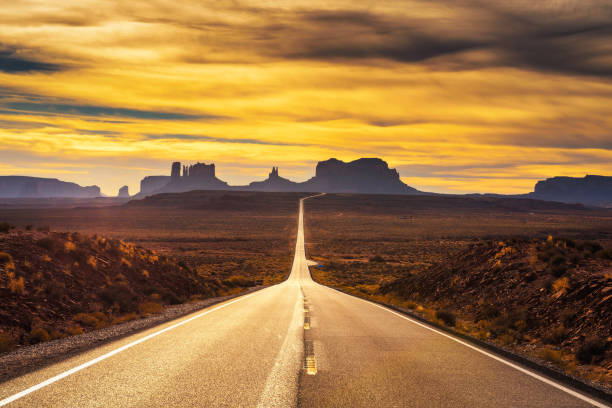
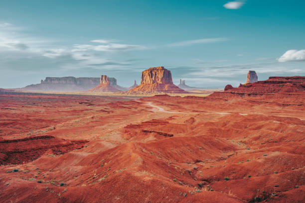
Desert road leading to Monument Valley photographed at the Forrest Gump Point with dramatic sunset sky.

Portrait of happy family against house. Multi-ethnic parents and children are smiling on driveway. They are having fun together during weekend.