Virginia Us State Pictures, Images and Stock Photos
Browse 770+ virginia us state stock photos and images available, or start a new search to explore more stock photos and images.
Most popular
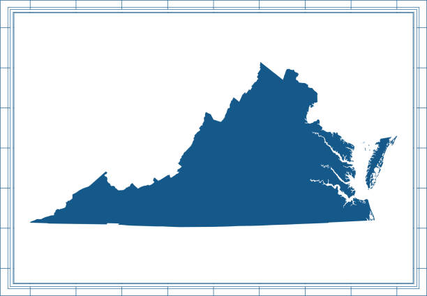
Virginia - States of USA Outline Map Vector Template Illustration Design. Editable Stroke. Vector EPS 10.

Map of Virginia in a trendy vintage style. Beautiful retro illustration with old textured paper and light rays in the background (colors used: blue, green, beige and black for the outline). Vector Illustration (EPS10, well layered and grouped). Easy to edit, manipulate, resize or colorize.

blue abstract outline of Virginia map
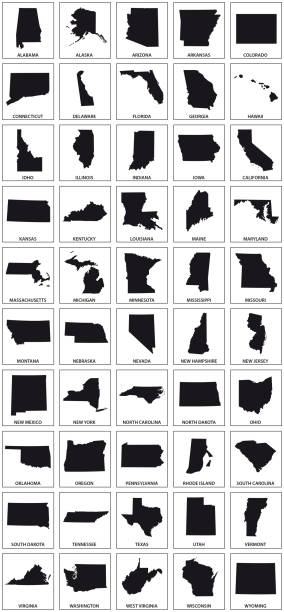
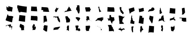
black silhouette maps of 50 us states.

Vector Southeast US Coast States travel stickers.

Bristol, Virginia and Bristol, Tennessee / USA - July 19, 2018: A pickup truck travels toward the camera on the Tennessee side of State Street in the separated cities of Bristol, Tennessee (l), and Bristol, Virginia (r).

Virginia is for Lovers, state motto and welcome sign on a billboard surrounded by trees
Downloadable map of Virginia state of United States of America. The map is accurately prepared by a map expert.
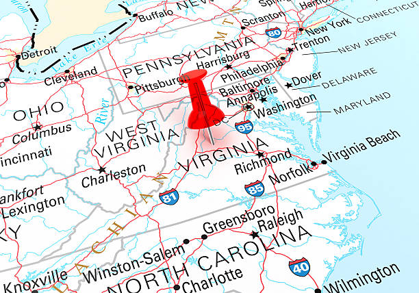
Red Thumbtack Over Virginia State USA Map. 3D rendering
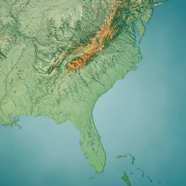
3D Render of a Topographic Map of the South Atlantic US States. All source data is in the public domain. Color texture: Made with Natural Earth. http://www.naturalearthdata.com/downloads/10m-raster-data/10m-cross-blend-hypso/ Relief texture: GMTED2010 data courtesy of USGS. URL of source image: https://topotools.cr.usgs.gov/gmted_viewer/viewer.htm Water texture: World Water Body Limits: Humanitarian Information Unit HIU, U.S. Department of State http://geonode.state.gov/layers/geonode%3AWorld_water_body_limits_polygons Boundaries: Humanitarian Information Unit HIU, U.S. Department of State (database: LSIB) http://geonode.state.gov/layers/geonode%3ALSIB_10
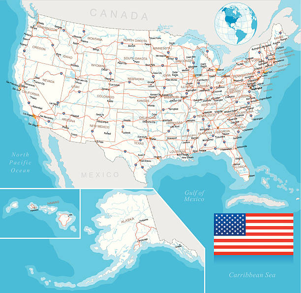
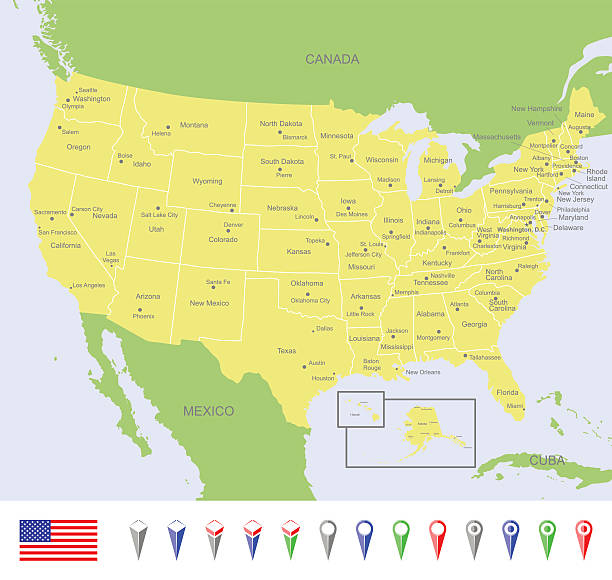
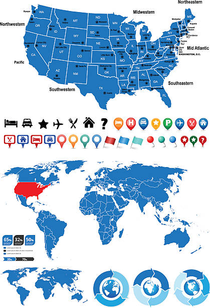
Highly detailed map of United States with roads, states, big cities, rivers and some other objects
![Virginia State Capitol Building In Richmond The State Capitol Building In Richmond, Virginia Was Built In 1788.
[url=file_closeup.php?id=6427966][img]file_thumbview_approve.php?size=1&id=6427966[/img][/url] [url=file_closeup.php?id=8214116][img]file_thumbview_approve.php?size=1&id=8214116[/img][/url] [url=file_closeup.php?id=7161292][img]file_thumbview_approve.php?size=1&id=7161292[/img][/url] [url=file_closeup.php?id=6351149][img]file_thumbview_approve.php?size=1&id=6351149[/img][/url] [url=file_closeup.php?id=6986022][img]file_thumbview_approve.php?size=1&id=6986022[/img][/url] [url=file_closeup.php?id=7789722][img]file_thumbview_approve.php?size=1&id=7789722[/img][/url] [url=file_closeup.php?id=17440304][img]file_thumbview_approve.php?size=1&id=17440304[/img][/url] [url=file_closeup.php?id=17429973][img]file_thumbview_approve.php?size=1&id=17429973[/img][/url] [url=file_closeup.php?id=17342895][img]file_thumbview_approve.php?size=1&id=17342895[/img][/url] [url=file_closeup.php?id=18006962][img]file_thumbview_approve.php?size=1&id=18006962[/img][/url] [url=file_closeup.php?id=17426783][img]file_thumbview_approve.php?size=1&id=17426783[/img][/url] [url=file_closeup.php?id=17342998][img]file_thumbview_approve.php?size=1&id=17342998[/img][/url] [url=file_closeup.php?id=17362606][img]file_thumbview_approve.php?size=1&id=17362606[/img][/url] [url=file_closeup.php?id=17426393][img]file_thumbview_approve.php?size=1&id=17426393[/img][/url] [url=file_closeup.php?id=19230567][img]file_thumbview_approve.php?size=1&id=19230567[/img][/url] [url=file_closeup.php?id=18529454][img]file_thumbview_approve.php?size=1&id=18529454[/img][/url] [url=file_closeup.php?id=17362694][img]file_thumbview_approve.php?size=1&id=17362694[/img][/url] [url=file_closeup.php?id=19291611][img]file_thumbview_approve.php?size=1&id=19291611[/img][/url] [url=file_closeup.php?id=20245120][img]file_thumbview_approve.php?size=1&id=20245120[/img][/url] [url=file_closeup.php?id=20460894][img]file_thumbview_approve.php?size=1&id=20460894[/img][/url] virginia us state stock pictures, royalty-free photos & images](https://media.istockphoto.com/id/155433547/photo/virginia-state-capitol-building-in-richmond.jpg?s=612x612&w=0&k=20&c=EOaGB3vH8eUyyNS1UM4o6gseyru6sJYS9OShZv_xnzU=)
The State Capitol Building In Richmond, Virginia Was Built In 1788. [url=file_closeup.php?id=6427966][img]file_thumbview_approve.php?size=1&id=6427966[/img][/url] [url=file_closeup.php?id=8214116][img]file_thumbview_approve.php?size=1&id=8214116[/img][/url] [url=file_closeup.php?id=7161292][img]file_thumbview_approve.php?size=1&id=7161292[/img][/url] [url=file_closeup.php?id=6351149][img]file_thumbview_approve.php?size=1&id=6351149[/img][/url] [url=file_closeup.php?id=6986022][img]file_thumbview_approve.php?size=1&id=6986022[/img][/url] [url=file_closeup.php?id=7789722][img]file_thumbview_approve.php?size=1&id=7789722[/img][/url] [url=file_closeup.php?id=17440304][img]file_thumbview_approve.php?size=1&id=17440304[/img][/url] [url=file_closeup.php?id=17429973][img]file_thumbview_approve.php?size=1&id=17429973[/img][/url] [url=file_closeup.php?id=17342895][img]file_thumbview_approve.php?size=1&id=17342895[/img][/url] [url=file_closeup.php?id=18006962][img]file_thumbview_approve.php?size=1&id=18006962[/img][/url] [url=file_closeup.php?id=17426783][img]file_thumbview_approve.php?size=1&id=17426783[/img][/url] [url=file_closeup.php?id=17342998][img]file_thumbview_approve.php?size=1&id=17342998[/img][/url] [url=file_closeup.php?id=17362606][img]file_thumbview_approve.php?size=1&id=17362606[/img][/url] [url=file_closeup.php?id=17426393][img]file_thumbview_approve.php?size=1&id=17426393[/img][/url] [url=file_closeup.php?id=19230567][img]file_thumbview_approve.php?size=1&id=19230567[/img][/url] [url=file_closeup.php?id=18529454][img]file_thumbview_approve.php?size=1&id=18529454[/img][/url] [url=file_closeup.php?id=17362694][img]file_thumbview_approve.php?size=1&id=17362694[/img][/url] [url=file_closeup.php?id=19291611][img]file_thumbview_approve.php?size=1&id=19291611[/img][/url] [url=file_closeup.php?id=20245120][img]file_thumbview_approve.php?size=1&id=20245120[/img][/url] [url=file_closeup.php?id=20460894][img]file_thumbview_approve.php?size=1&id=20460894[/img][/url]
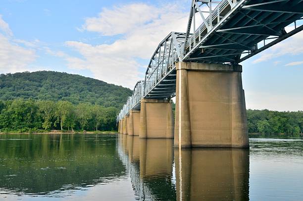
The bridge for US-15 over the Potomac river at Point of Rocks Maryland. It is still early with a glassy river and good shadows and contrast. The bridge spans the Virginia - Maryland border, but Maryland owns the river
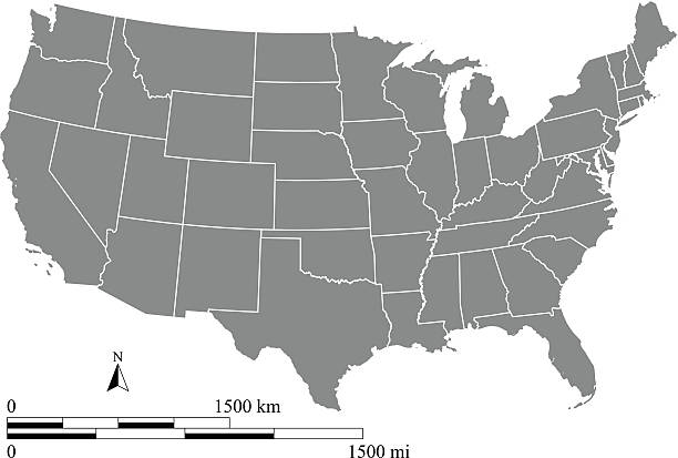
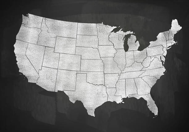
Detailed map of USA.
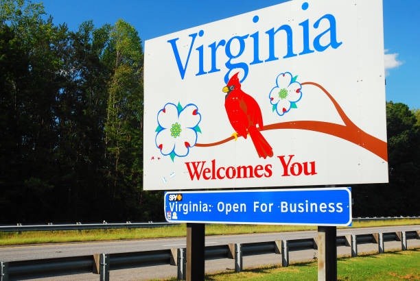
Arlington, VA, USA September 29, 2011 A Sign with a red cardinal, the Virginia state bird, welcomes people to the State of Virginia near Arlington

The Virginia state flag waving along with the national flag of the United States of America. Virginia is a state in the Mid-Atlantic and Southeastern regions of the United States
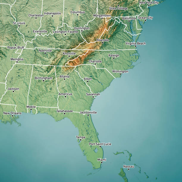
3D Render of a Topographic Map of the South Atlantic US States. Version with Boundaries and Cities. All source data is in the public domain. Color texture: Made with Natural Earth. http://www.naturalearthdata.com/downloads/10m-raster-data/10m-cross-blend-hypso/ Relief texture: GMTED2010 data courtesy of USGS. URL of source image: https://topotools.cr.usgs.gov/gmted_viewer/viewer.htm Water texture: World Water Body Limits: Humanitarian Information Unit HIU, U.S. Department of State http://geonode.state.gov/layers/geonode%3AWorld_water_body_limits_polygons Boundaries: Humanitarian Information Unit HIU, U.S. Department of State (database: LSIB) http://geonode.state.gov/layers/geonode%3ALSIB_10
Highly detailed map of United States with roads, states, state capitals, important cities, rivers and major lakes.
virginia state map concept
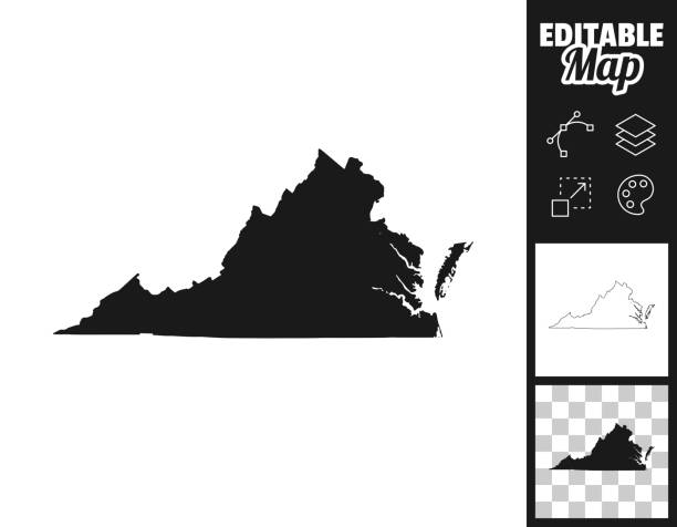
Map of Virginia for your own design. Three maps with editable stroke included in the bundle: - One black map on a white background. - One line map with only a thin black outline in a line art style (you can adjust the stroke weight as you want). - One map on a blank transparent background (for change background or texture). The layers are named to facilitate your customization. Vector Illustration (EPS file, well layered and grouped). Easy to edit, manipulate, resize or colorize. Vector and Jpeg file of different sizes.
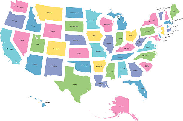
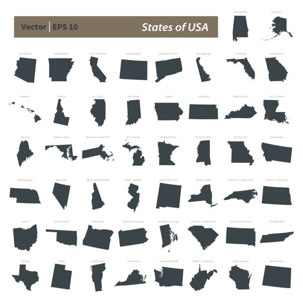
highly detailed map of all fifty states of USA.
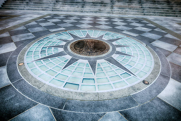
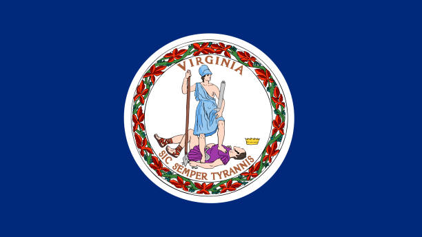
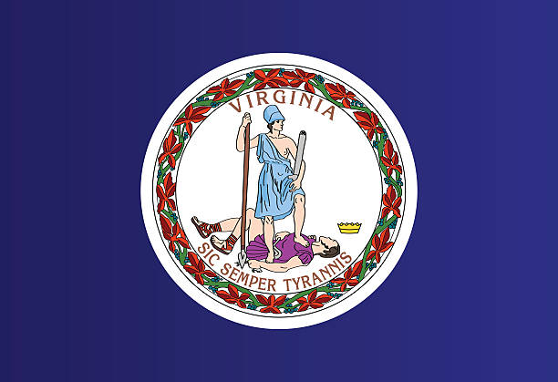
The State Seal of Virginia from out front of the Virginia State Capitol building.
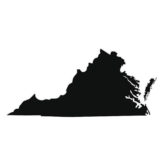
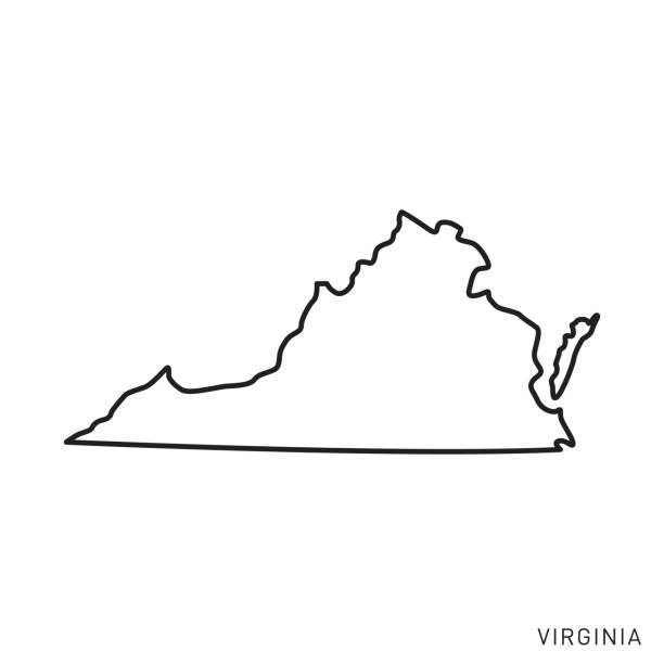
map of the U.S. state of Virginia
Crowds gather in downtown Bristol for the 2014 Rhythm and Roots Festival. The town is bisected by the Tennessee-Virginia state line and is known as the birthplace of country music..
This vector map of USA includes a high quality image file (jpg) and a vector file (eps) that can be scaled to any size. The map and scales are accurately prepared by a GIS expert.
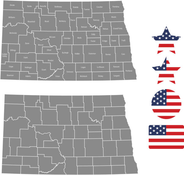
All counties have separate and accurate borders that can be selected and easily edited.

Outlined map of virginia with transparent background of US dollar banknotes
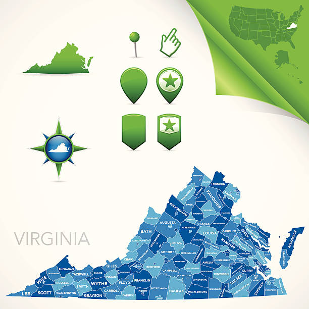
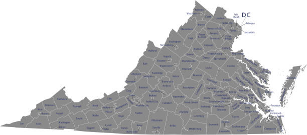
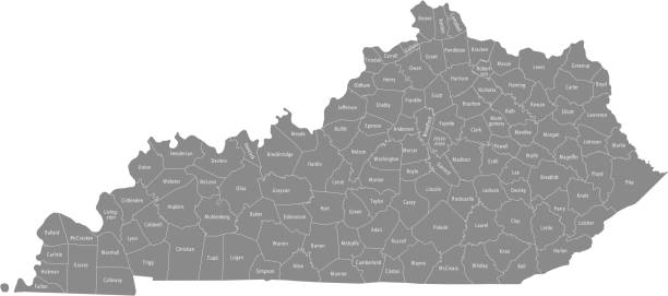
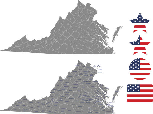
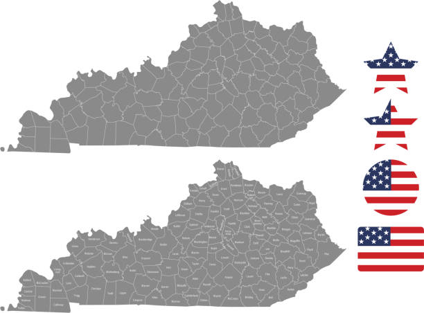
Highly-detailed Virginia county and independent city map. Each county and independent city is in it's own separate labeled layer. Independent city and county names are in a separate layer and can be easily adjusted or removed as well. All layers have been alphabetized for easy manipulation, recoloring or other use.
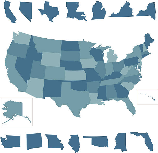
A vector map of the united States with individual states outlines.
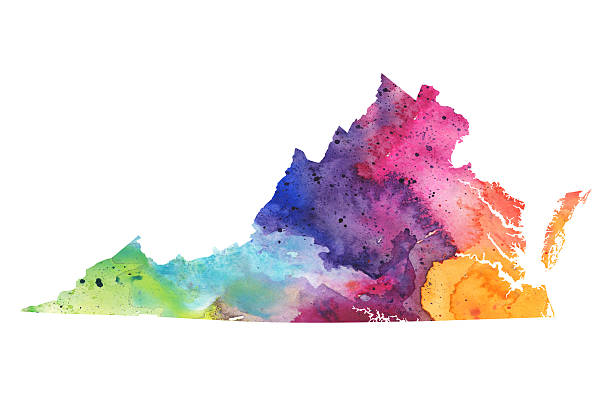
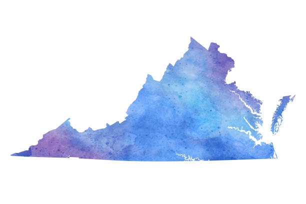
A highly detailed map of the US state of Virginia with a multicoloured, rainbow hand painted watercolor texture. Map is isolated on a white background. Raster illustration.
The map is accurately prepared by a GIS and remote sensing specialist. Every county has a separate boundary that can be edited.
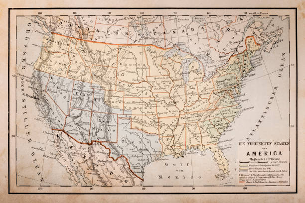
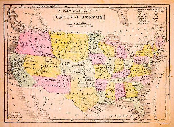
Illustration of a Old map of America
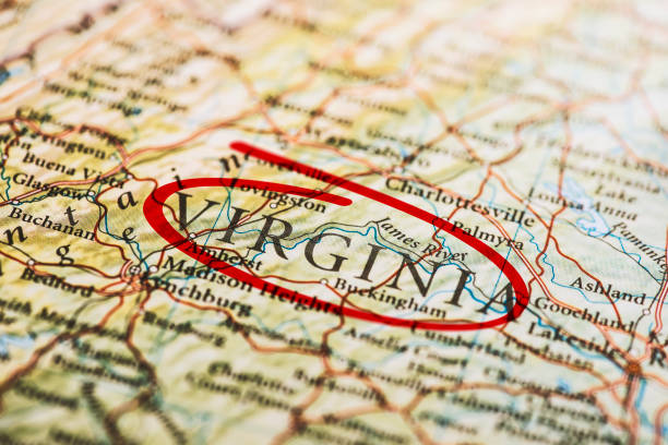
Virginia circled with red marker on map. Close up shot.
The maps are accurately prepared by a GIS and remote sensing expert.
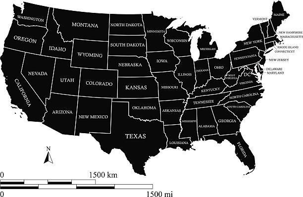
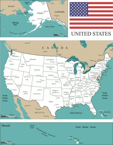
United States map vector outline with scales of miles and kilometers, states names, capital location and name, Washington DC, in black color
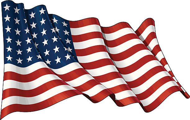
Illustration of a waving US 48 star flag of the period 1912-1959. This design was used by the US in both World Wars and the Korean war.
EPS 10 and JPEG

Knoxville, MD, 09/27/2020: A group of kayakers are kayaking in Potomac river together. They all have yellow red colored kayaks. Image was taken on Sandy Hook Bridge between Maryland and Virginia.
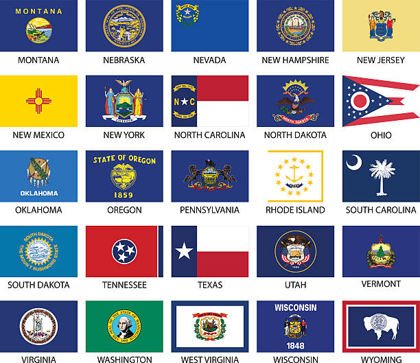
USA states flags. Each flag on its own layer.
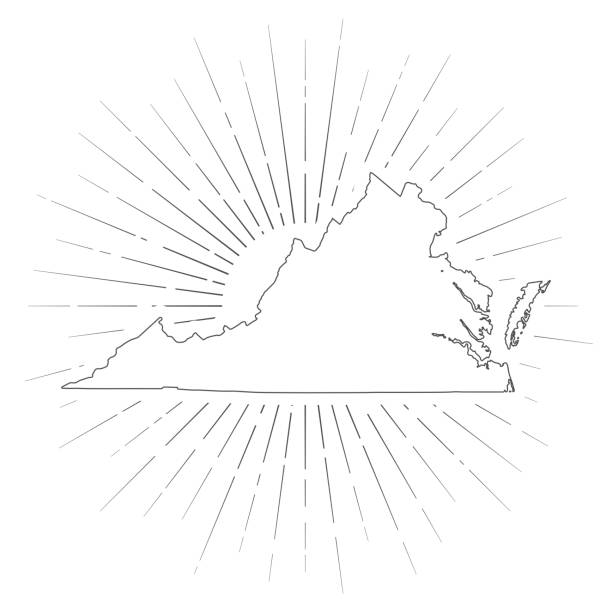
Map of Virginia created with a thin black outline and light rays. Trendy and modern illustraion isolated on a blank background. Vector Illustration (EPS10, well layered and grouped). Easy to edit, manipulate, resize or colorize.

Vector silhouette of Virginia in white with a drop shadow.

Map of State in USA. Detail from the World Map.
Every state is a seperate object that has a complete boundary that you can edit it. The map and scales are accurately prepared by a map expert.
The maps are accurately prepared by a GIS and remote sensing expert.
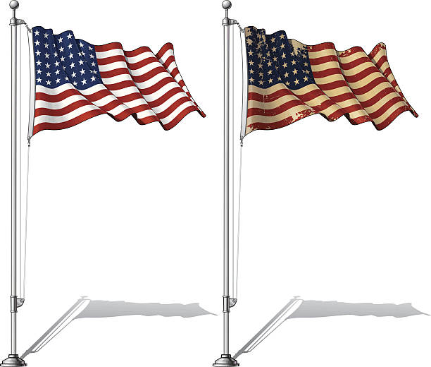
Vector Illustration of a waving 48 star US flag in a clean-cut and an aged version, fasten on a flag pole. This was the flag of the United States during WWI, WWII and the Korean War. Both versions are in-place in separate layers. Flags and pole in separate groups; line art, shading and color neatly in groups for easy editing. EPS-10 and a 30+ Mpxl Q12 JPEG Preview.
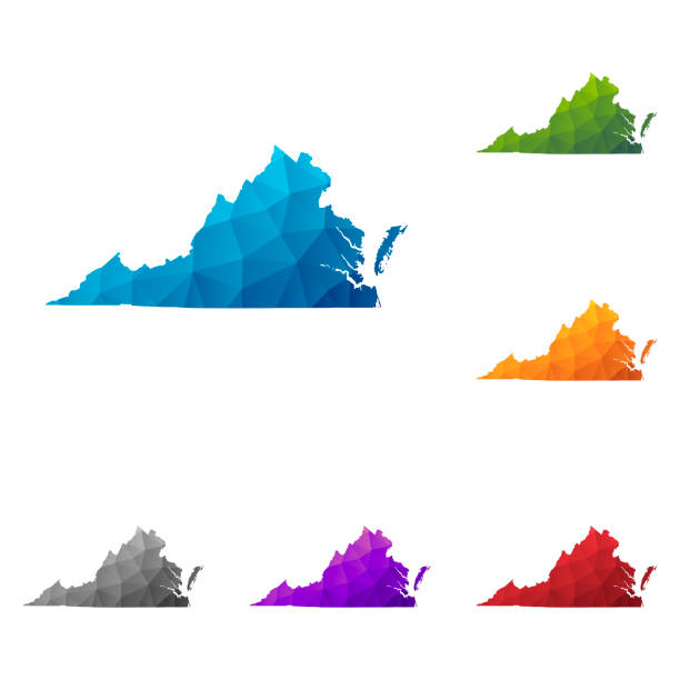
Set of 6 Virginia maps created in a Low Poly style, isolated on a blank background. Modern and trendy polygonal mosaic with beautiful color gradients (colors used: Blue, Green, Orange, Yellow, Red, Pink, Purple, Black, Gray). Vector Illustration (EPS10, well layered and grouped). Easy to edit, manipulate, resize or colorize.
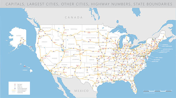
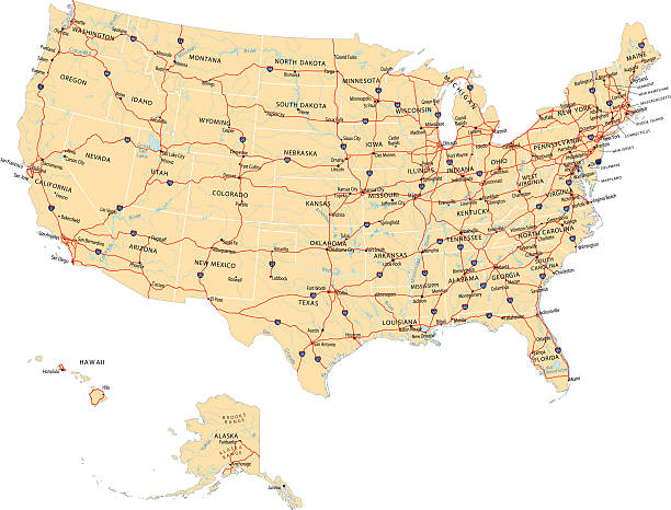
High detailed USA interstate road map vector
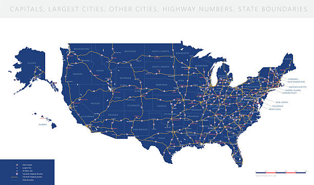
High detailed USA interstate road map vector

Grunge illustration of a waving US 48 star flag of the period 1912-1959. This design was used by the US in both World Wars and the Korean war.
The maps are accurately prepared by a GIS and remote sensing expert.
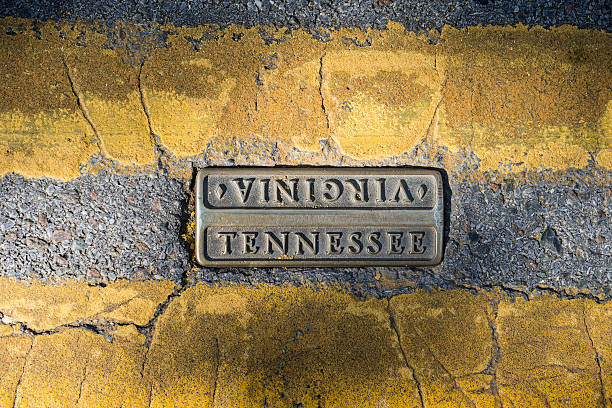
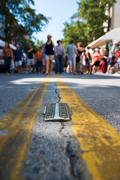
The Virginia-Tennessee state line is marked between the double yellow line on State Street in downtown Bristol
The USA map was traced and simplified in Adobe Illustrator on 24FEB2015 from a copyright-free resource below: