Relief Map Pictures, Images and Stock Photos
Browse 25,300+ relief map stock photos and images available, or search for new zealand relief map or washington state relief map to find more great stock photos and pictures.
new zealand relief map
washington state relief map
texas relief map
minnesota relief map
relief map usa
world relief map
uk relief map
north america relief map
colorado relief map
united states relief map
hungary relief map
switzerland shaded relief map
ireland relief map
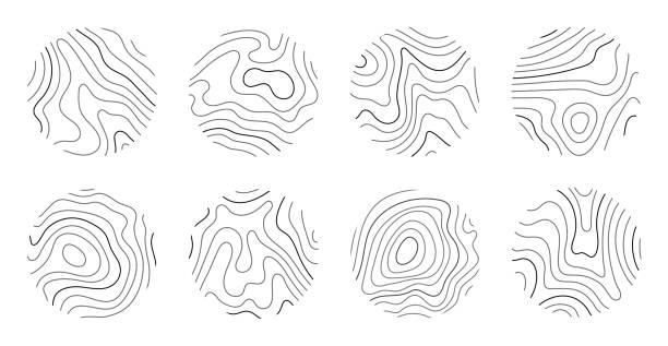
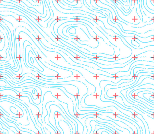
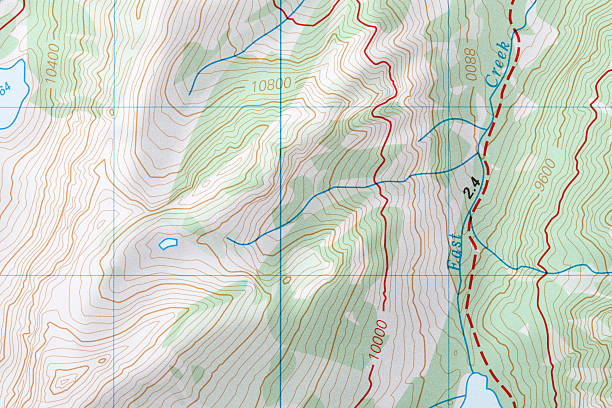
relief map lines
australia relief map
relief map africa
Most popular
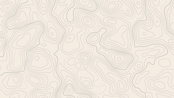
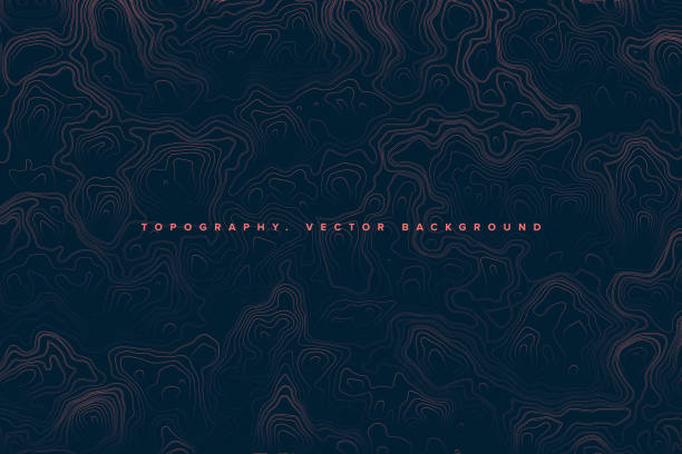
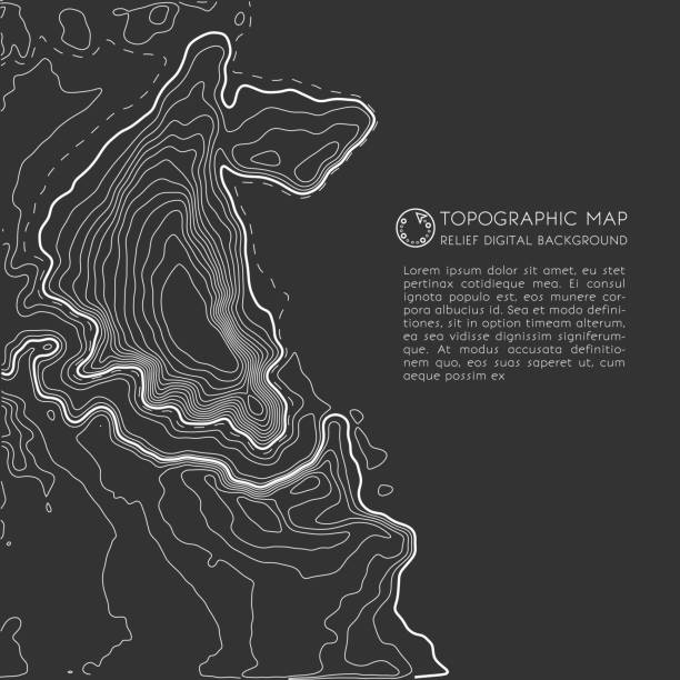
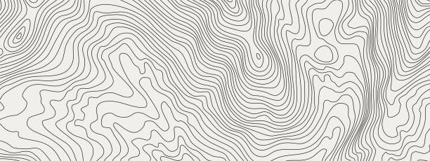
Stylized height of the topographic contour in lines and contours. Beautiful background, picture. Design for location. Concept of conditional geographical pattern and topography. Vector illustration
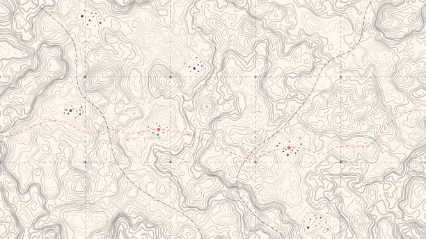
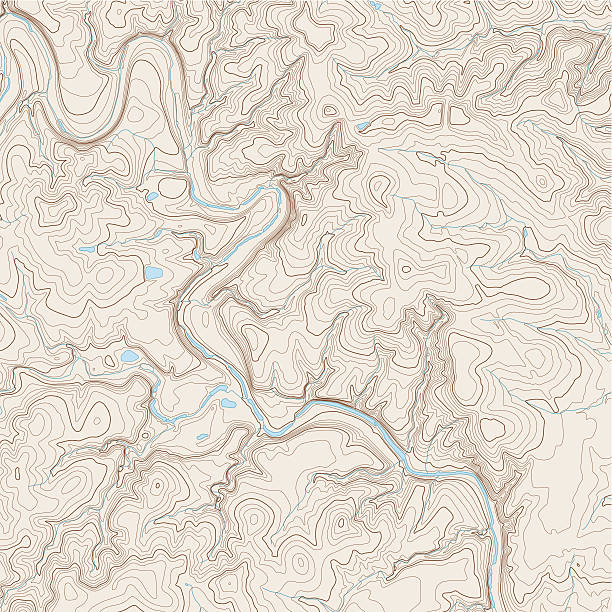
Vintage Detailed Contour Topographic Map Of Wild West Abstract Vector Background
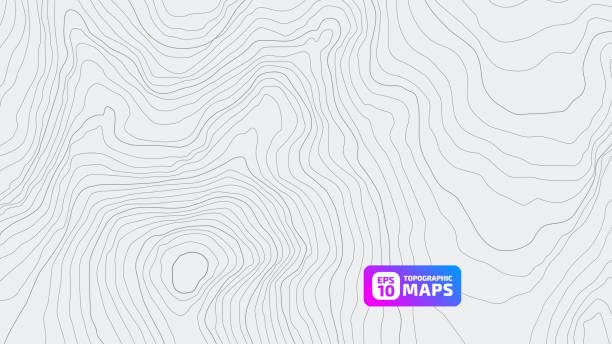
Topographic map background concept with space for your copy. EPS 10 file. Transparency effects used on highlight elements.
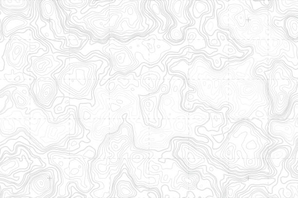
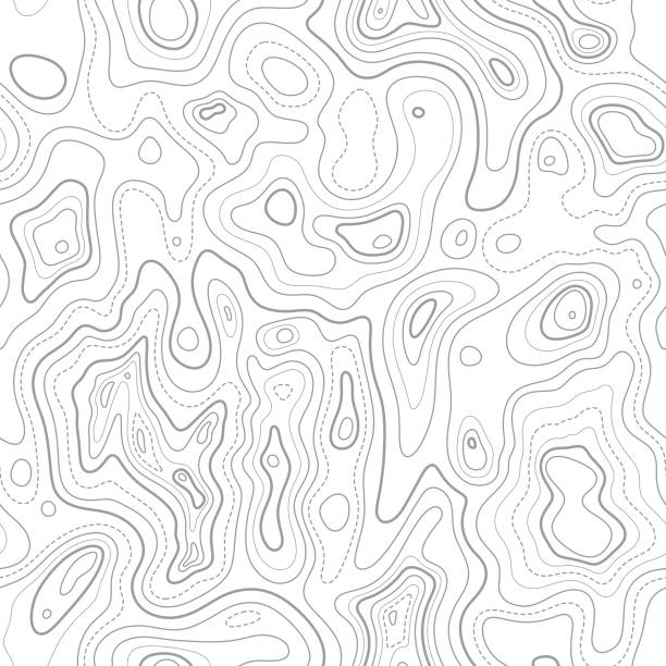
Height map with contour lines and dotted line grid seamless vector pattern background illustration
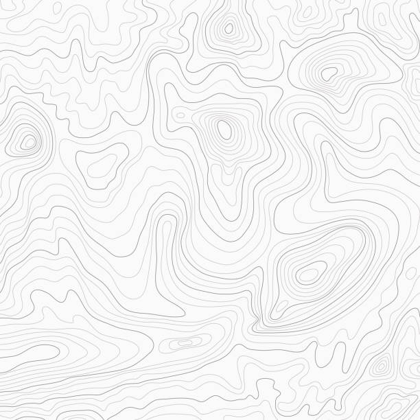
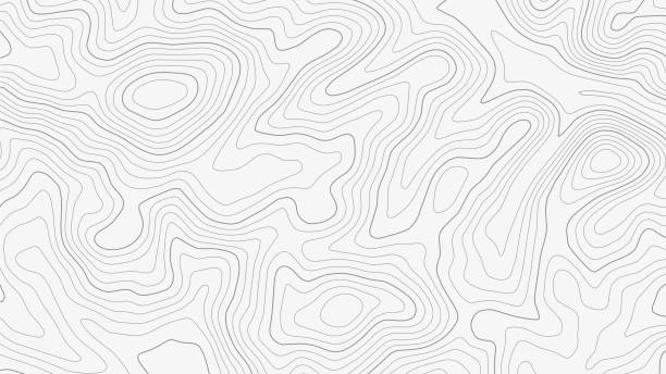
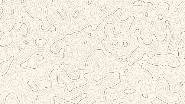
Light topographic topo contour map background, stock vector illustration
Abstract Blank Detailed Topographic Contour Map Subtle White Vector Background
Detailed fragment of abstract vector topographic map

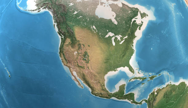
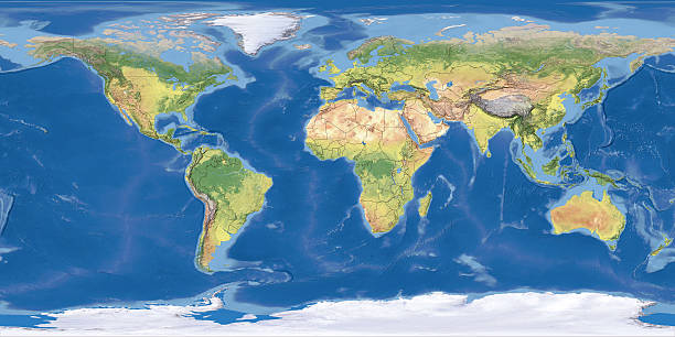
Physical map of North America, USA, Canada and Mexico, with high resolution details. Satellite view of Planet Earth. 3D illustration (Blender software), elements of this image furnished by NASA (https://eoimages.gsfc.nasa.gov/images/imagerecords/147000/147190/eo_base_2020_clean_3600x1800.png)

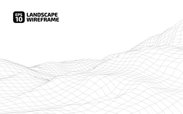
Abstract Hologram Landscape background - 3d rendered image of topology structure map. Polygonal wireframe design element. Virtual reality, Augmented reality technology concept. Plexus design elements - connections symbol.
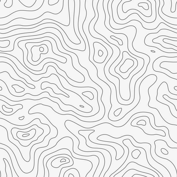
![Topography Background [vector] A topographic map pattern on white. relief map stock illustrations](https://media.istockphoto.com/id/153070427/vector/topography-background-vector.jpg?s=612x612&w=0&k=20&c=EBY-V2L6f3tIOCLBBoCFFAOKY8E4mB5FPpZjHwk-ecU=)
A topographic map pattern on white.
Topographic map contour background. Topo map with elevation. Contour map vector. Geographic World Topography map grid abstract .
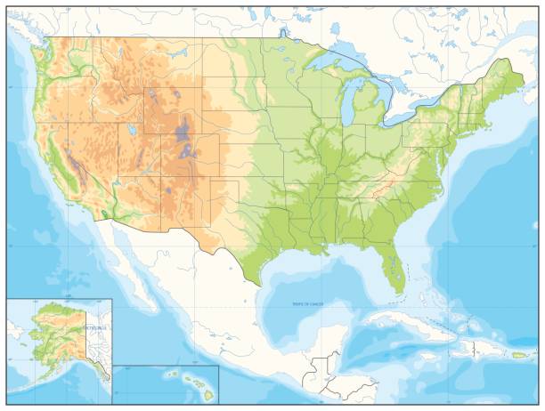
Detailed Relief map of USA. No text. Vector illustration.

Deep blue layers abstract water background concept.
Digital cyberspace terrain in mountains with valleys. Data array. lines depicting rocks of an shape. Vector illustration.
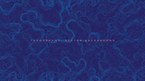
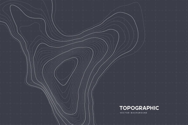
Blue Topographic Contour Map Vector Abstract Background. Render Wavy Lines Ultra Wallpaper. Conceptual Sci-Fi Marine Technology Futuristic Line Art Illustration
Background of topographic line contour map, geographic grid map. Stock vector illustration
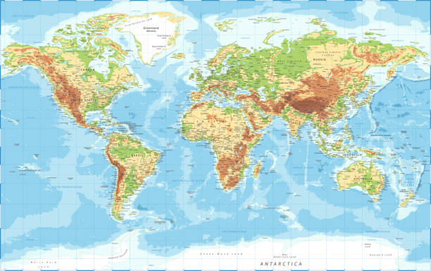
World Map Physical Topographic - Vector Detailed Illustration
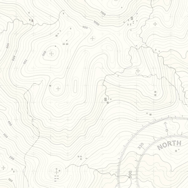
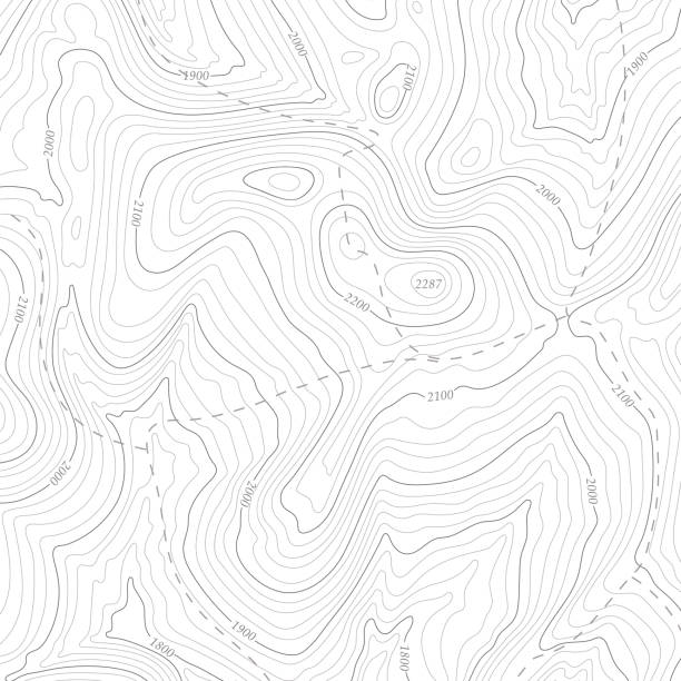
Topographic elevation map with editable stroke.
Digital world map Terrain。The software to create:Photoshop CS5
Topographic map background with copy space. Abstract map lines and contours. Geographic grid, vector illustration
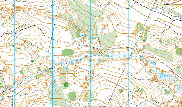
Realistic Topographic map of an area west of Austin, Texas. Vector map is layered with isolines, rivers, bodies of water and background on different layers.
Growth rings of a tree. Wood stump line design. Vector illustration.

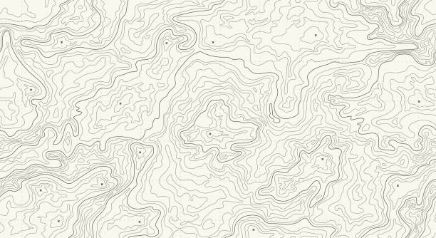
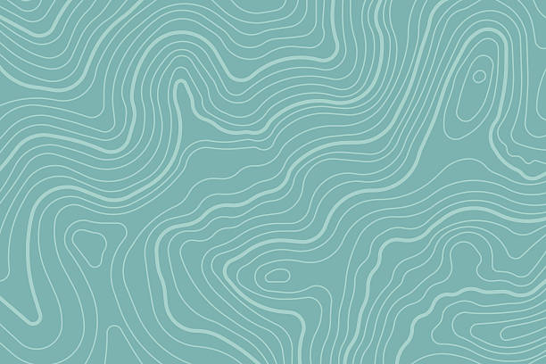
This detailed illustration of topography lines repeats seamlessly and the vector file can be scaled infinitely without loss of quality. This topographic map style abstract pattern would make an ideal background and can easily be coloured and customised to suit your needs.
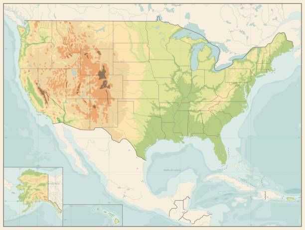
Detailed Relief map of USA. Retro color. No text

Sun shining over a high detailed view of Planet Earth, focused on North America, USA and Canada. 3D illustration (Blender software), elements of this image furnished by NASA (https://eoimages.gsfc.nasa.gov/images/imagerecords/73000/73776/world.topo.bathy.200408.3x5400x2700.jpg)
Topographic map patterns, topography line map. Vintage outdoors style.
Contour lines on topographic maps, geographic map pattern. Vector set of social media stories template with copy space.
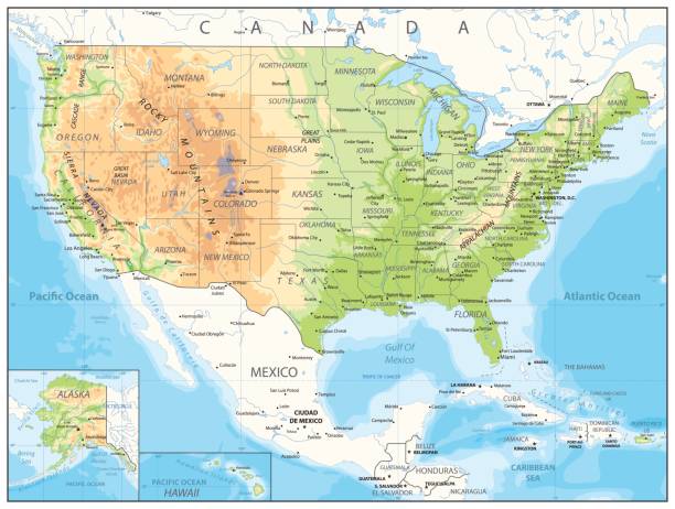
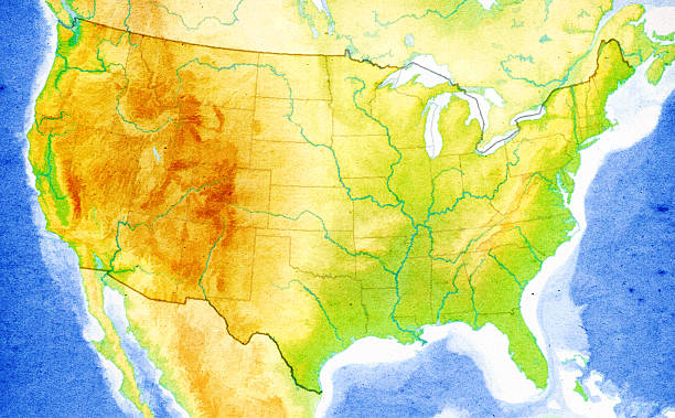
USA detailed physical map with roads, railroads, water objects, cities and capitals.
The black on white contours vector topography stylized height of the lines. The concept of a conditional geography scheme and the terrain path. Wide size. Map on land vector terrain Illustration.
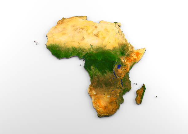
3D rendering of extruded high-resolution physical map (with relief) of the African continent, isolated on white background. Modeled and rendered with Houdini 16.5 Satellite image from NASA: https://visibleearth.nasa.gov/view.php?id=74092
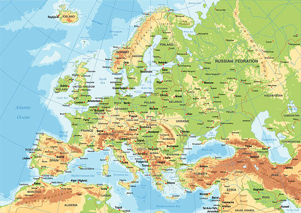
Highly detailed colored vector illustration of Europe map -.borders, countries and cities - illustration.
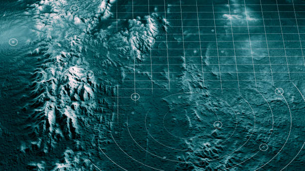
Satellite view of land, war operations, sci-fi, night vision with blue hues. Military target. Drone flying over an area. Military operation. Undercover operation. Mountain reliefs. 3d render
Topographic map background with space for copy. EPS 10 file. Transparency effects used on highlight elements.
Digital world map Terrainã The source of the map reference Addressï¼
"High quality surface map, natural colors, clouds cover.Clouds map comes from earthobservatory/nasa.The software to createA!Photoshop CS5"
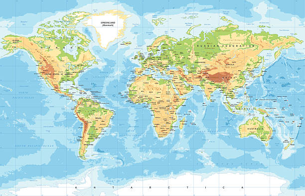
Highly detailed colored vector illustration of world map -
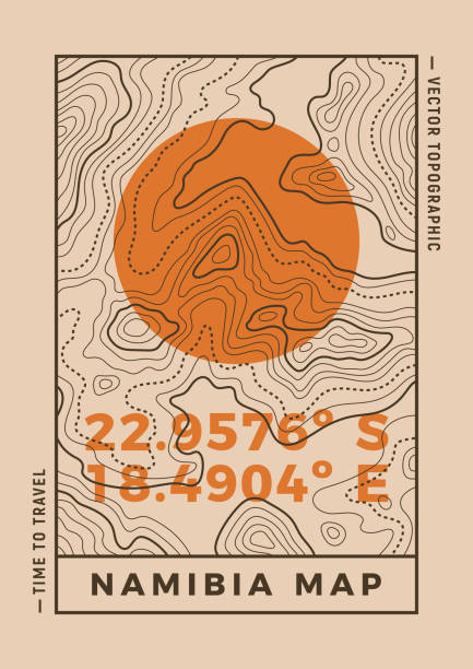
Travel poster of topographic line map. Vector line pattern of geographic map countour. Outline pattern of Namibia coordinates. Topography map background.
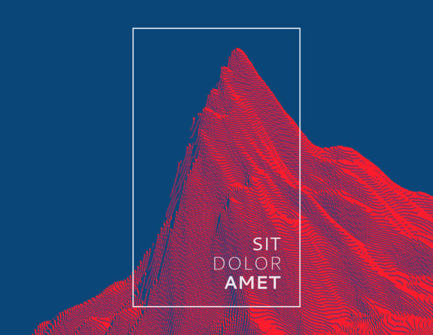
Editable vector illustration of a generic map of mountains. Hi-res jpeg included.
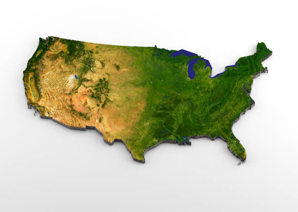
3D rendering of extruded high-resolution physical map (with relief) of the contiguous 48 USA States, isolated on white background. Modeled and rendered with Houdini 16.5 Satellite image from NASA: https://visibleearth.nasa.gov/view.php?id=74092
Topographic map abstract background concept illustration.

Abstract Hologram Landscape background - 3d rendered image of topology structure map. Polygonal wireframe design element.

Modern and trendy background. Abstract design with wave shapes in a paper cut style (Grey, white). Background template for your design, with space for your text. Vector Illustration (EPS10, well layered and grouped), wide format (5:3). Easy to edit, manipulate, resize or colorize.

Digital landscape terrain made of dots, grid patterns and particles. There are strains of information being uploaded to the cloud from all over the landscape.
![Topographic Map [vector] A topographic map with white lines on a green background. relief map stock illustrations](https://media.istockphoto.com/id/155018540/vector/topographic-map-vector.jpg?s=612x612&w=0&k=20&c=1_G0Z7ENS8JX0qnOgG9cKxrxq4ubItmKEhXWBOa3pfc=)
A topographic map with white lines on a green background.
Close-up on a paper map of USA with visible paper texture for super realistic effect. Map source nasa.gov with reference map of the boundaries form cia.gov.SEE MORE MAPS HERE:
A generic topographical map.
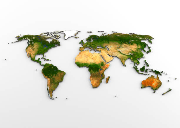
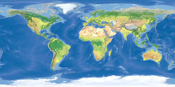
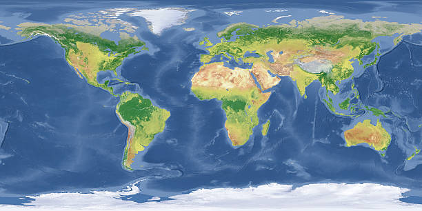
3D rendering of extruded high-resolution physical map (with relief) of the World, isolated on white background. Modeled and rendered with Houdini 16.5 Satellite image from NASA: https://visibleearth.nasa.gov/view.php?id=74092
Topographic map seamless pattern, topography line map. Vector stock illustration.
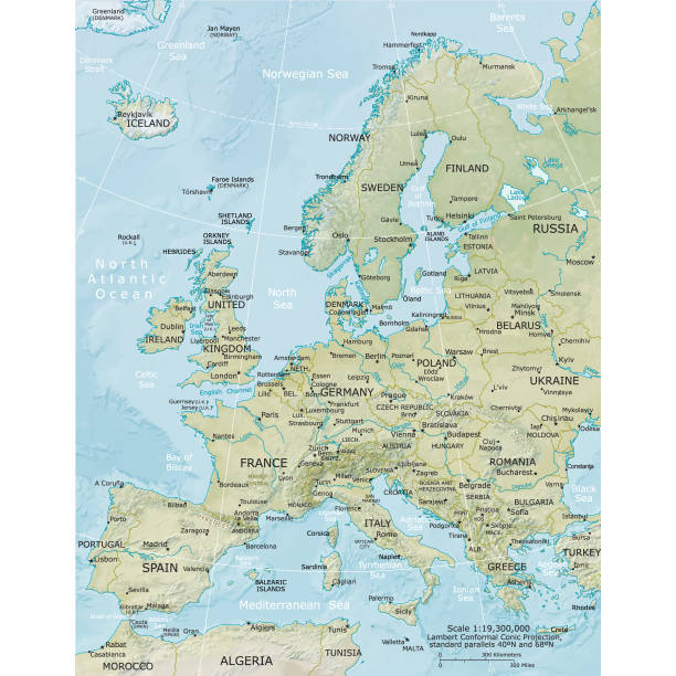
Vector illustration of the physical map of Europe Reference map was created by the US Central Intelligence Agency and is available as a public domain map at the University of Texas Libraries website. https://www.cia.gov/library/publications/resources/the-world-factbook/graphics/ref_maps/physical/pdf/europe.pdf
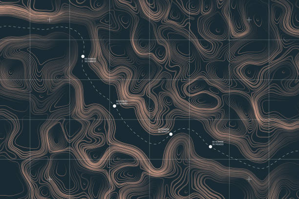
View From Above Alien Terrain Conceptual Vector Topographic Map With Route And Coordinates User Interface Abstract Background