Land Feature Pictures, Images and Stock Photos
Browse 160+ land feature stock photos and images available, or search for depression to find more great stock photos and pictures.
Most popular
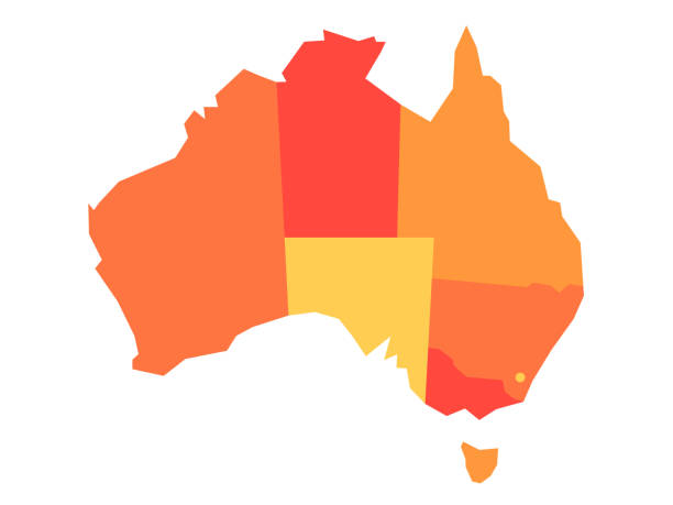
Orange blank map of Australia. Vector illustration
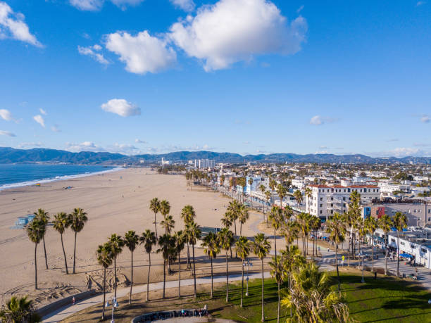
Aerial photography of the venice beach boardwalk, shops, vendors, venice skate park, roller skating area, graffiti walls, beach, and other public areas. Photos taken with a drone during the December in Los Angeles.

Abstract vector landscape background. Cyberspace landscape grid. 3d technology vector illustration.
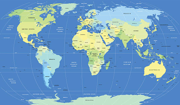
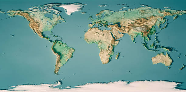
Detailed Vector World Map. Layers objects (groups): continents, countries, names of countries, capitals, water resources, meridians.
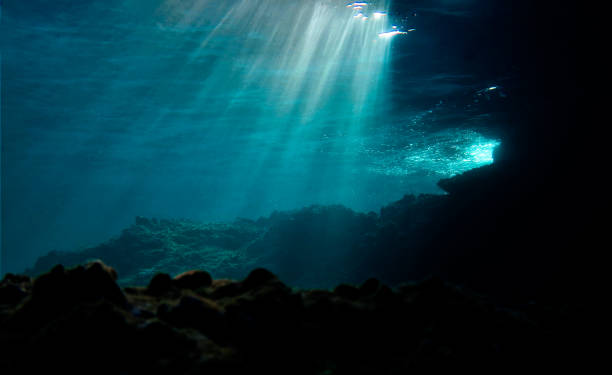
Underwater photo of beautiful rays of light over the reef. From a scuba dive
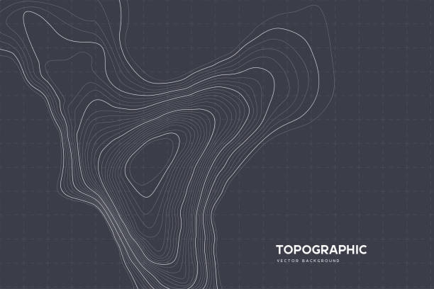
Topographic map background with copy space. Abstract map lines and contours. Geographic grid, vector illustration
Map of Australia line and glyph icon, country and geography, australia map sign vector graphics, editable stroke linear icon, eps 10
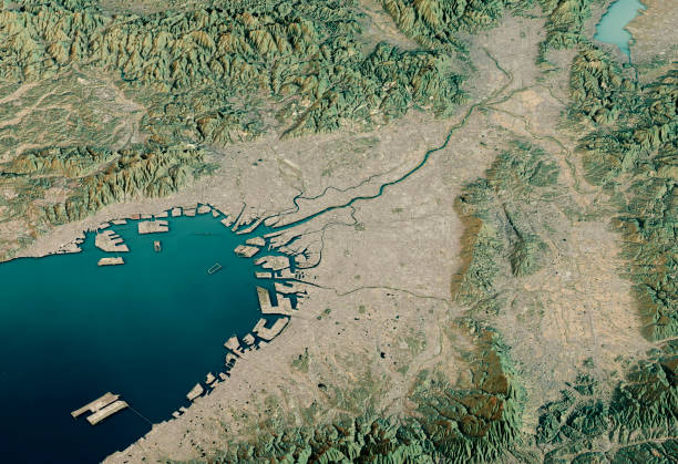
3D Render of a Topographic Map of Osaka, Japan. Contains modified Copernicus Sentinel data (November 02, 2016) courtesy of ESA. Relief texture SRTM data courtesy of NASA. URL of source images:
minimal editable stroke usa map icon. flat style modern graphic change line thickness design isolated on white background. concept of coastline of north america and part of global world
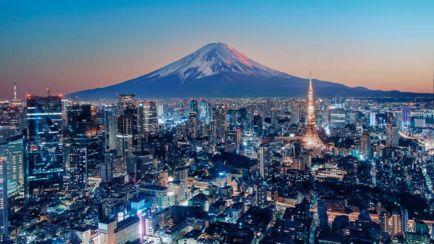
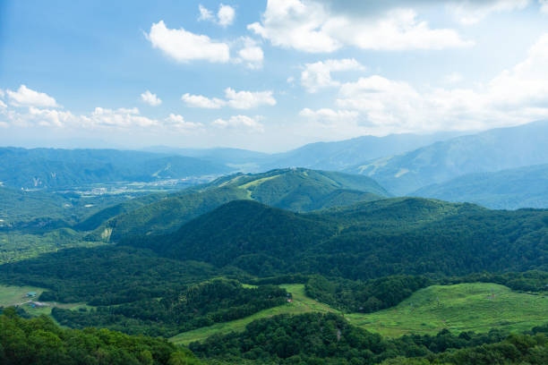
Tokyo city illuminated at sunset
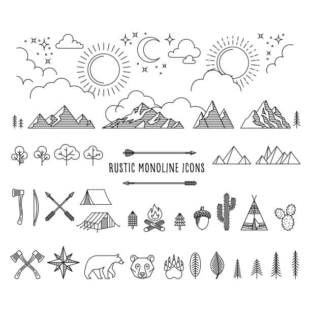
Huge set of rustic monoline icon designs depicting nature and the great outdoors.
Abstract vector landscape background. Cyberspace grid. 3d technology vector illustration.
3D Render of a Topographic World Map. Made with Natural Earth. URL of source data: http://www.naturalearthdata.com Relief texture SRTM data courtesy of NASA. URL of source image: http://reverb.echo.nasa.gov The source data is in the public domain.
Distant figure against mountain sunset - Brecon Beacons national park, Wales
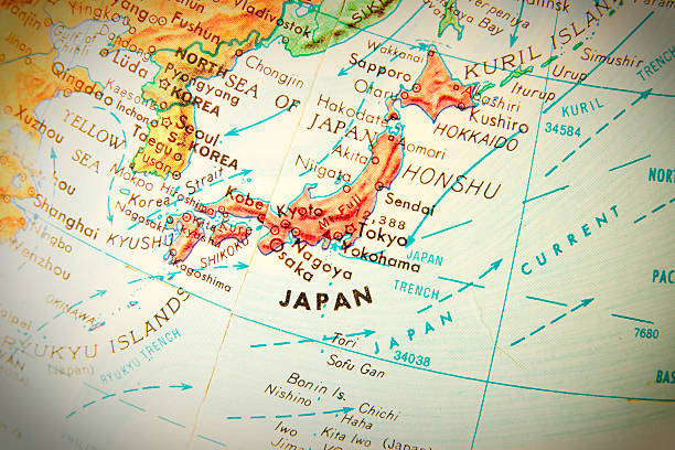
Studying geography - Photo of Japan on retro globe.
(3d illustration, elements of this image are furnished by NASA)

Abstract polygonal space low poly dark background with connecting dots and lines.3D rendering


Abstract background image, perfectly usable for a wide range of topics related to computer networks or technology in general.

blue polygonal mesh terrain with editable path
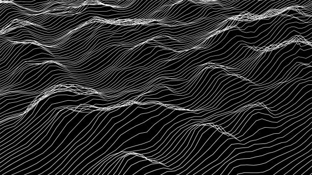
wire mesh scenery in black back
Retro style wireframe futuristic landscape with a mountain range, coast, sea and sky. technology concept. Vector illustration
Dark Blue Abstract Galaxy Nebula Wave Surf Sea Storm Dramatic Sky Background Digitally Generated Image

Te Apiti Wind Farm is a wind energy project located in the Manawatū-Whanganui region of the North Island of New Zealand. The wind farm is situated on the Tararua Range, near the town of Ashhurst, and features 55 wind turbines that generate a total of 90 megawatts of electricity.


Abstract halftone background with wavy surface made of light blue dots on white
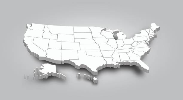
3D Map of United state of america .
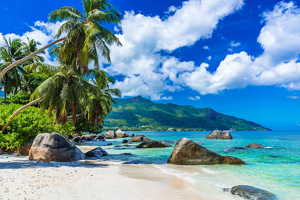
Baie Beau Vallon - tropical beach on island Mahe in Seychelles

Mountain landscape with river at night. Black and white ink drawing, stylized hand drawn sketch. Vector illustration.
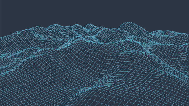
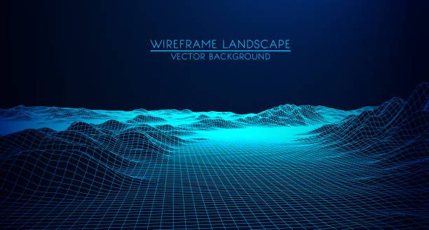
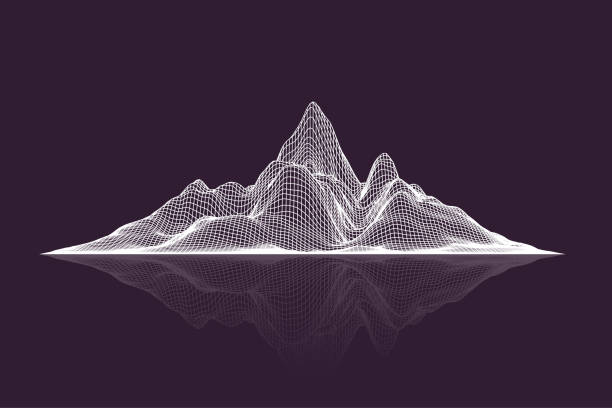
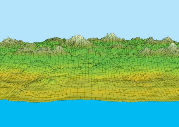
Wireframe landscape background. Digital landscape for presentations. Cyberspace grid. 3d Vector illustration.
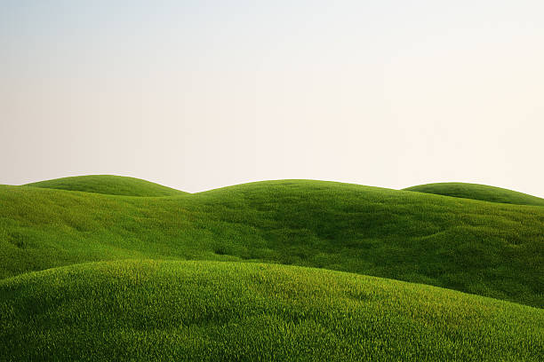
3d rendering of a green field
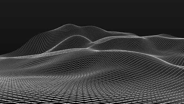
Futuristic wireframe landscape background. Vector digital illustration from wave white lines. Geometric abstraction
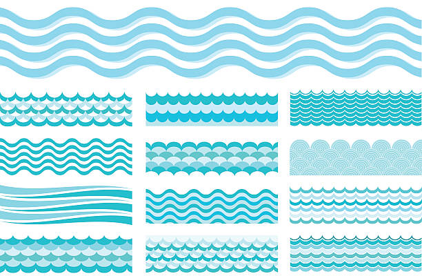
Collection of marine waves. Sea wavy, ocean art water design. Vector illustration
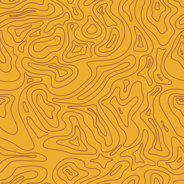
Topographic Map yellow Seamless Pattern. Vector Background

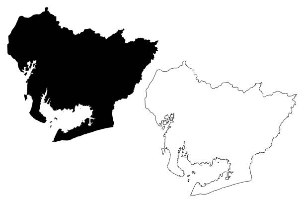
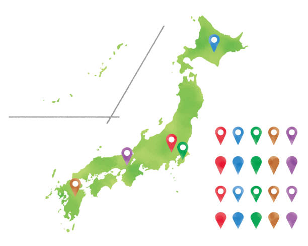
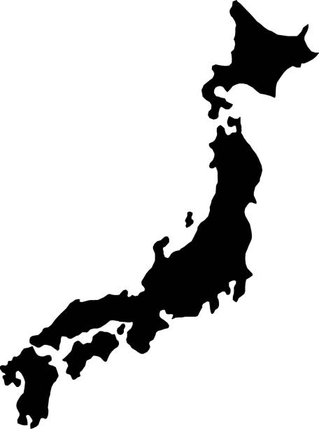
Aichi Prefecture (Administrative divisions of Japan, Prefectures of Japan) map vector illustration, scribble sketch Aichi map


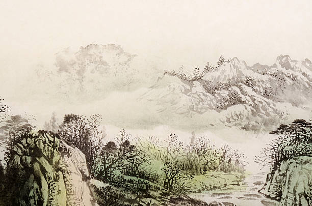
Chinese traditional painting, landscape with mountain and river.

Middle East 3D Render of the Planet Earth with Clouds. Made with Natural Earth. URL of source data: http://www.naturalearthdata.com Relief texture GMTED2010 data courtesy of USGS. URL of source image: https://topotools.cr.usgs.gov/GMTED_viewer/gmted2010_global_grids.php Cloud data courtesy of NASA. URL of source image: https://visibleearth.nasa.gov/view.php?id=57747 The source data is in the public domain.
Abstract vector landscape background. Cyberspace grid. 3d technology vector illustration.
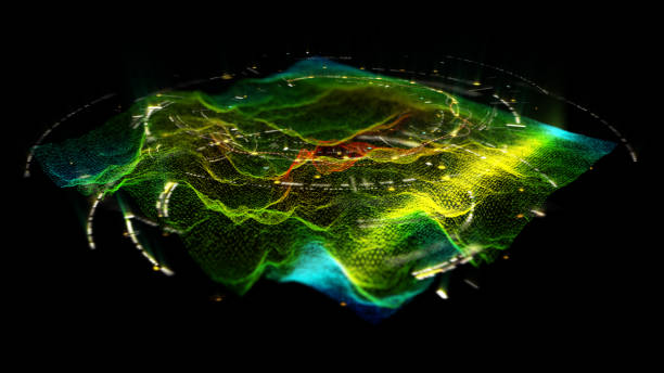
Futuristic Holographic Terrain environment, geomorphology, topography and digital data telemetry information display motion graphic user interface head up display screen


Abstract vector illustration of network. File organized with layers. Global color used.
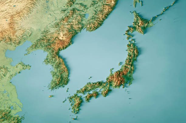
3D Render of a Topographic Map of Japan and the Korean peninsula. All source data is in the public domain. Color texture: Made with Natural Earth. http://www.naturalearthdata.com/downloads/10m-raster-data/10m-cross-blend-hypso/ Relief texture: GMTED 2010 data courtesy of USGS. URL of source image: https://topotools.cr.usgs.gov/gmted_viewer/viewer.htm Water texture: SRTM Water Body SWDB: https://dds.cr.usgs.gov/srtm/version2_1/SWBD/
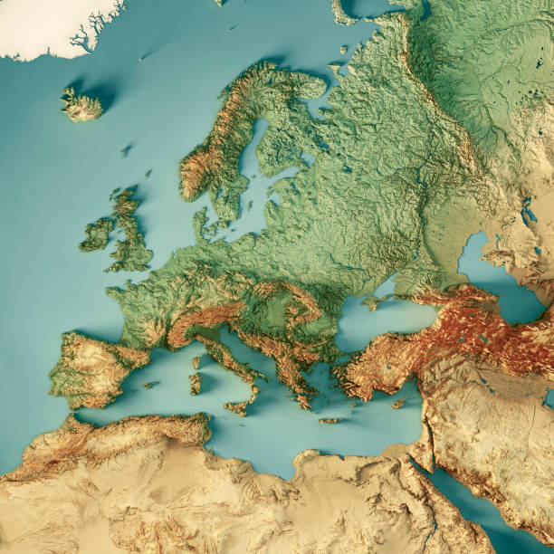
3D Render of a Topographic Map of Europe, including the region to the Ural mountains in the east and the northern part of Africa in the south. All source data is in the public domain. Color texture: Made with Natural Earth. http://www.naturalearthdata.com/downloads/10m-raster-data/10m-cross-blend-hypso/ Relief texture: GMTED2010 data courtesy of USGS. URL of source image: https://topotools.cr.usgs.gov/gmted_viewer/viewer.htm Water texture: HIU World Water Body Limits: http://geonode.state.gov/layers/?limit=100&offset=0&title__icontains=World%20Water%20Body%20Limits%20Detailed%202017Mar30
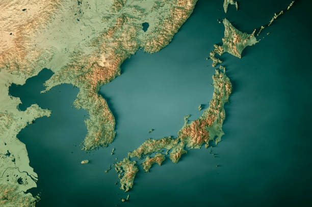
3D Render of a Topographic Map of Japan and the Korean peninsula. All source data is in the public domain. Color texture: Made with Natural Earth. http://www.naturalearthdata.com/downloads/10m-raster-data/10m-cross-blend-hypso/ Relief texture: GMTED 2010 data courtesy of USGS. URL of source image: https://topotools.cr.usgs.gov/gmted_viewer/viewer.htm Water texture: SRTM Water Body SWDB: https://dds.cr.usgs.gov/srtm/version2_1/SWBD/
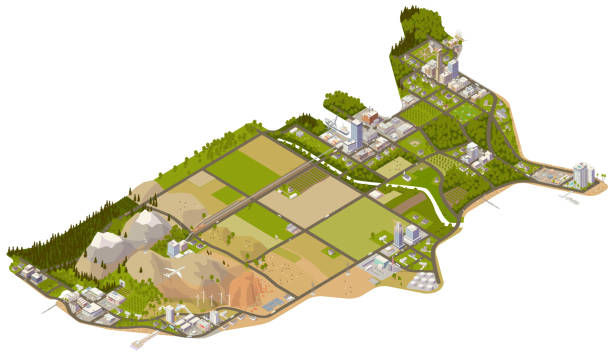
Isometric illustration of the continental United States, showing general locations of key cities, farms, mountains, beaches, and forests of the 48 contiguous states. Details include more than 100 buildings clustered in key cities, hundreds of trees, and dozens of cows. Roads and land contours based on illustrator's interpretations, and not on any specific map.
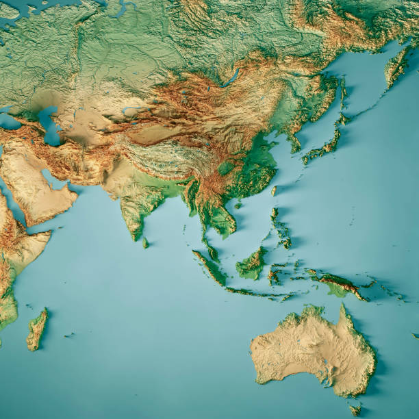
3D Render of a Topographic Map of Asia and Australia. All source data is in the public domain. Color texture: Made with Natural Earth. http://www.naturalearthdata.com/downloads/10m-raster-data/10m-cross-blend-hypso/ Relief texture: GMTED 2010 data courtesy of USGS. URL of source image: https://topotools.cr.usgs.gov/gmted_viewer/viewer.htm Water texture: SRTM Water Body SWDB: https://dds.cr.usgs.gov/srtm/version2_1/SWBD/