Lake Utah Pictures, Images and Stock Photos
Browse 600+ lake utah stock photos and images available, or search for great salt lake utah or bear lake utah to find more great stock photos and pictures.
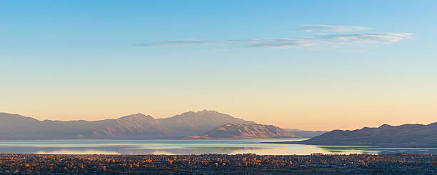
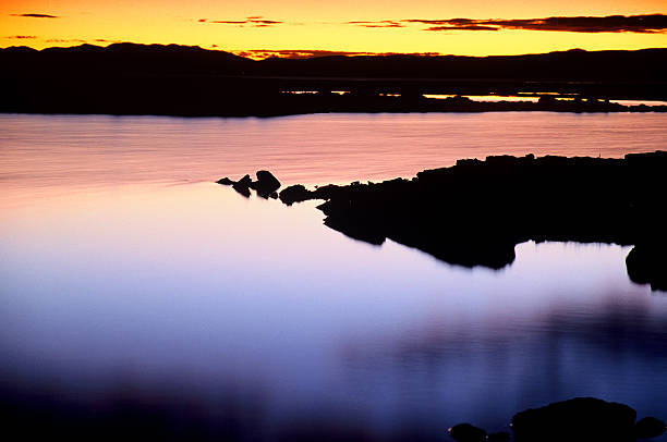
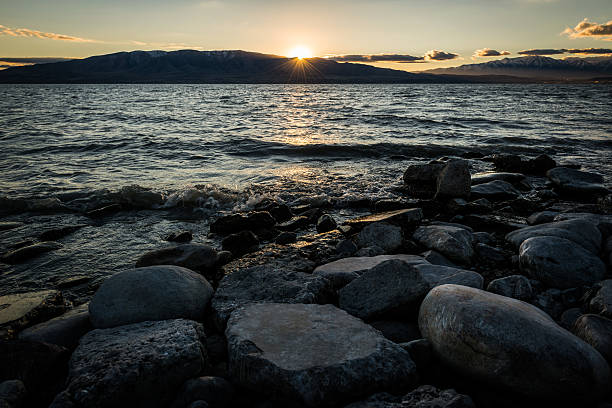
Southerly view of Utah Lake at sunset - image taken October 2014

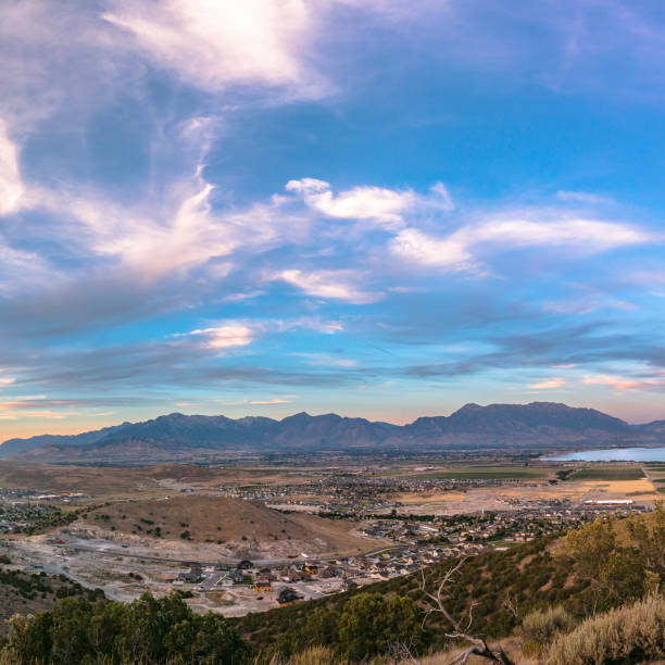
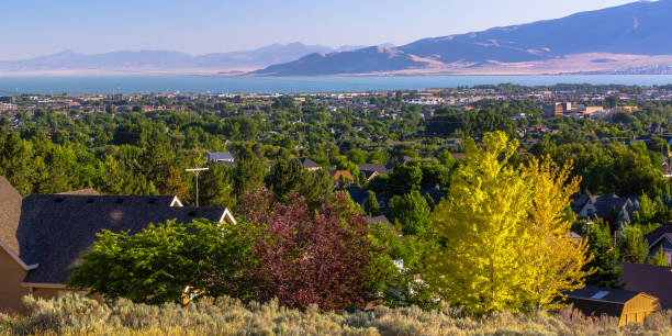
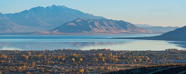
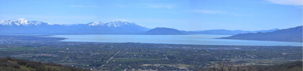
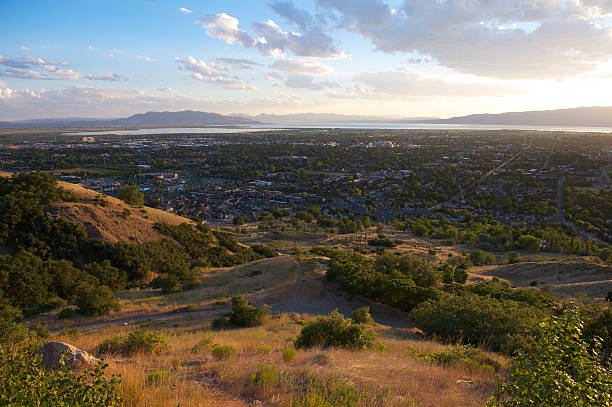
View of Utah County, overlooking Lehi, American Fork, Alpine and Utah Lake.
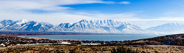
Utah lake partially frozen and Mt Timpanogos in Utah
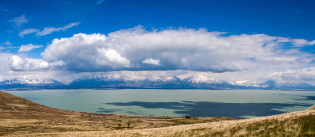
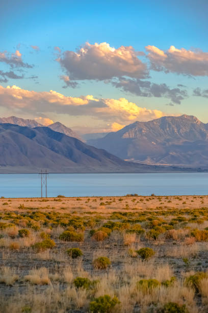
"View of Utah Lake and the Wasatch Mountains in Utah County, taken from Saratoga Springs in February 2012."
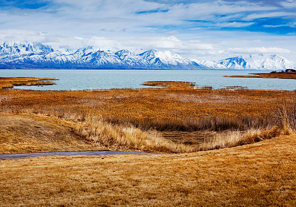
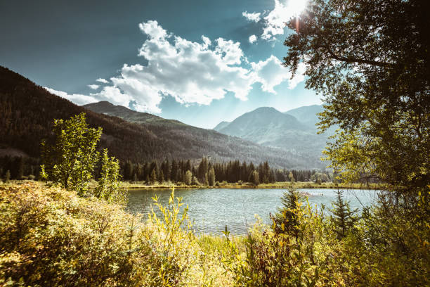
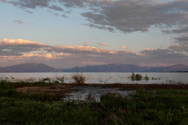
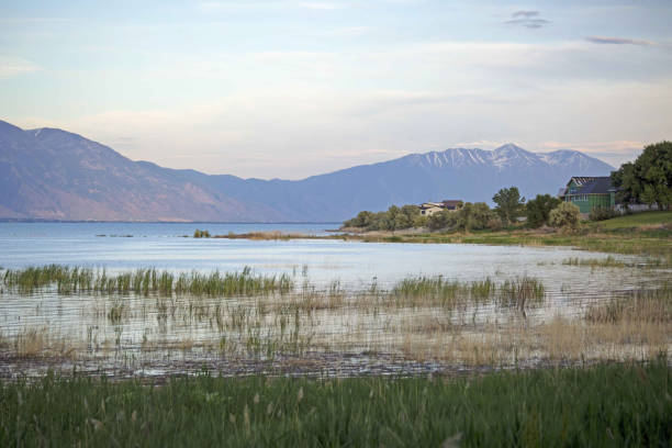
Grasslands and Wetlands along Utah Lake looking toward Spanish Fork Peak at dusk with cloud cap over Wasatch Mountains
Utah Valley in Eagle Mountain under a cloudy sky. Expansive view of the Utah Valley in Eagle Mountain under a vast cloudy sky. Utah Lake and a mountain can be seen in the distance.
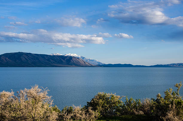
Utah Lake and Wasatch Mountains
Beautiful view of snow covered Loafer Mountain with dramatic clouds in the sky, Utah Lake State Park, Provo Utah
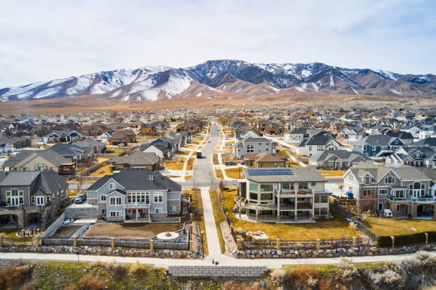
An aerial view of a housing development that sits next to Utah Lake, in Utah County Utah USA.
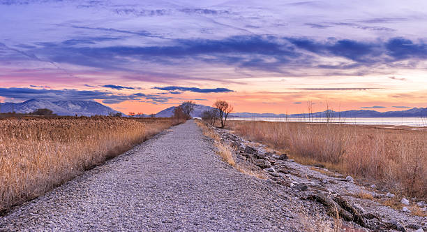
A gravel path runs along the side of Utah Lake, trailing off into the distance as dusk settles coloring the sky with the after glow of the sunset.
Homes with Utah lake and mountain in Orem Utah. View of homes with abundant trees in Orem, Utah on a sunny day. The calm Utah Lake and a majestic mountain can be seen in the distance.
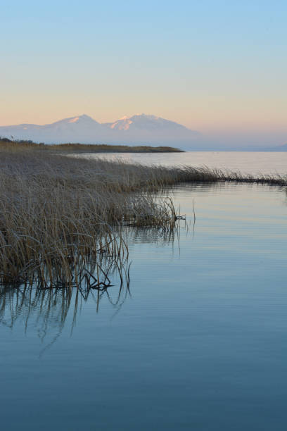
Utah Rocky mountainsvutah vally water reeds morning blue
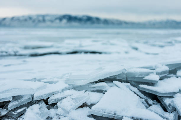
Cracked shards of ice on shore of frozen Utah Lake, USA
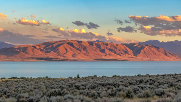
Utah lake and red mountain under dramatic sky. The calm blue Utah Lake against a striking mountain with a red glow at sunset. Beautiful scenery of a lake with a boundless cloudy sky overhead.
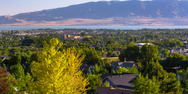
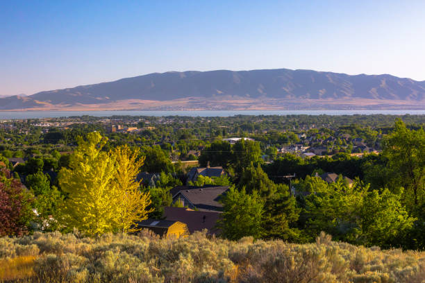
Sun shining down amid lush trees in the Utah Valley at Orem, Utah. A view of the Utah Lake and huge mountain can be seen in the background.
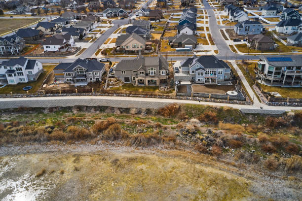
An aerial view of a housing development that sits next to Utah Lake, in Utah County Utah USA.
Southerly view of Utah Lake with Lehi neighborhoods below and West Mountain then Mount Nebo above - image taken October 2014
Water movement tracking

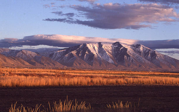
Sunrise during the early winter, before the first snowfall, but after inversions have started kicking in. A high pressure system settles in over the valley and locks in the bulk of the air, preventing much airflow from valley to valley, causing pollutants in the air to build quickly over a short time.
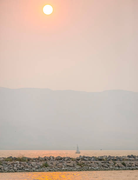
Golden sun over Utah Lake in Provo at sunset. A golden sun in the vast sky reflected on the surface of Lake Utah at sunset. A sailboat is in the middle of the lake against silhouetted mountain.
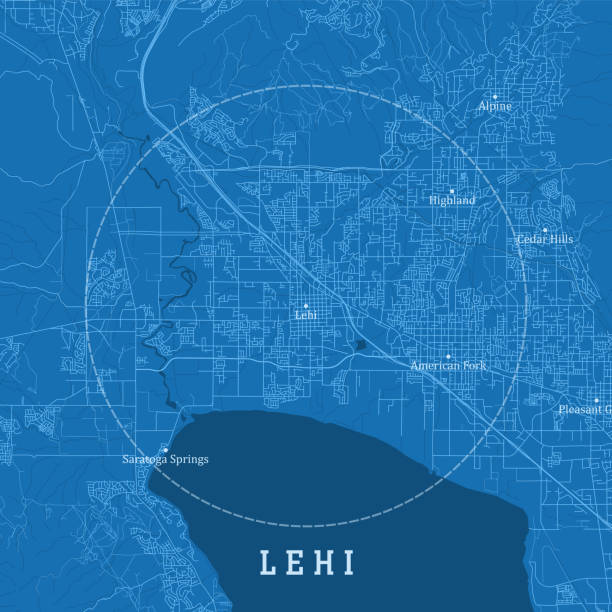
Lehi UT City Vector Road Map Blue Text. All source data is in the public domain. U.S. Census Bureau Census Tiger. Used Layers: areawater, linearwater, roads.
Looking east over Utah Lake, UT, USA on a warm clear day, the blue sky dotted with clouds.
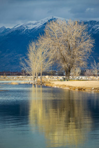
Trees reflecting off of the calm Utah Lake on an overcast day with snowcapped mountains in the distance, Utah Lake State Park, Provo, Utah
As seen from Corner Canyon, in the foothills of the Wasatch Range
Beautiful view with mountain and sky in Lake Utah. Beautiful landscape with majestic mountain and dramatic sky in Lake Utah beyond the grassy lakeshore. The cloudy sky has a golden glow at sunset.
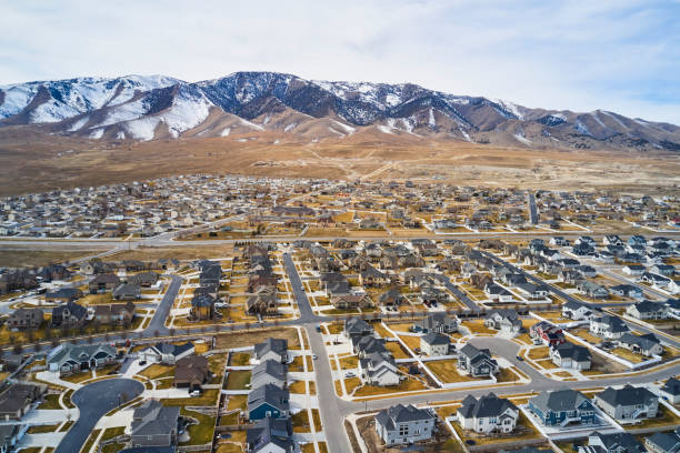
An aerial view of a housing development that sits next to Utah Lake, in Utah County Utah USA.
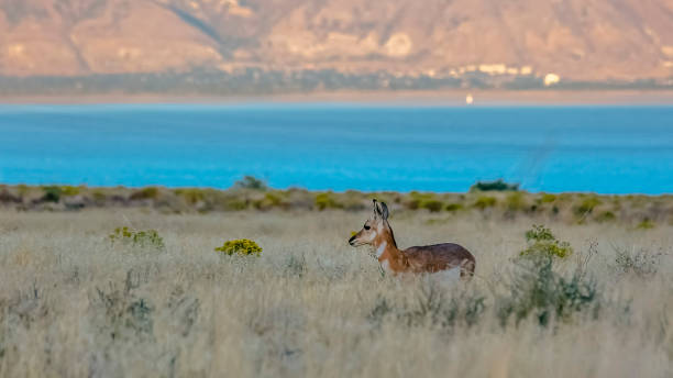
Female Pronghorn on an open prairie in Utah Lake. A female Pronghorn Antelope looking in the distance on an open prairie. Wildlife in Utah Lake on a sunny day with mountain in the background.
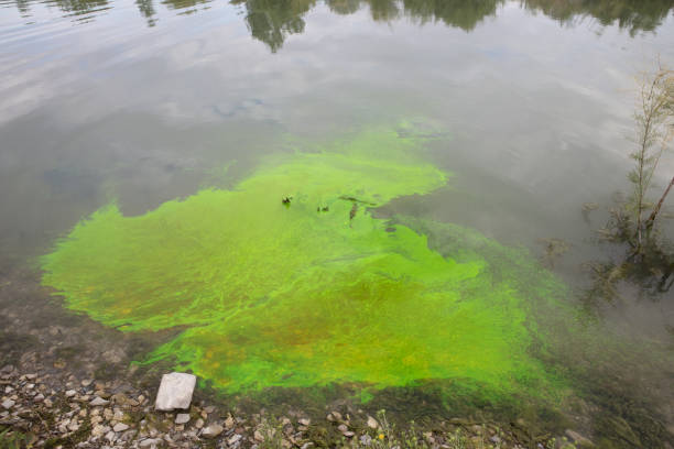
Water movement tracking
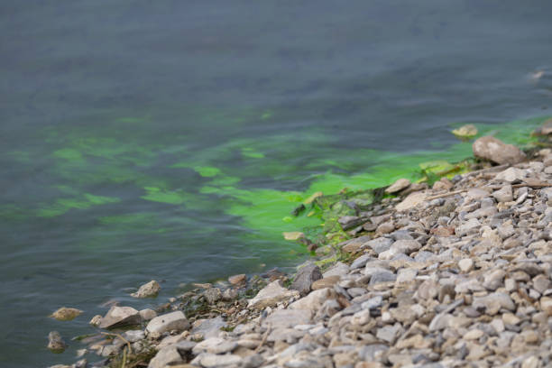
Water movement tracking
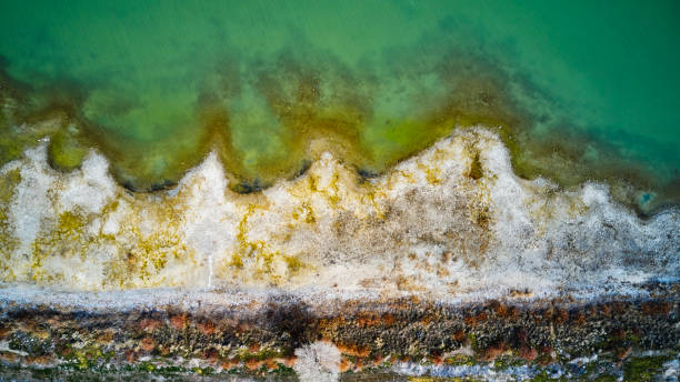
An aerial view of the shoreline of Utah Lake in Utah USA.
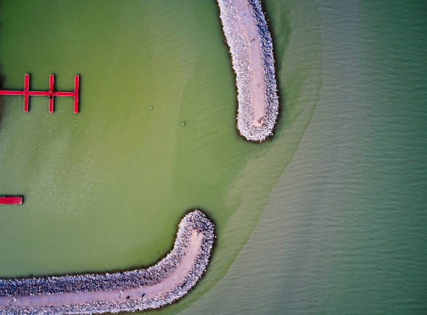
An aerial view of the shoreline of Utah Lake in Utah USA.
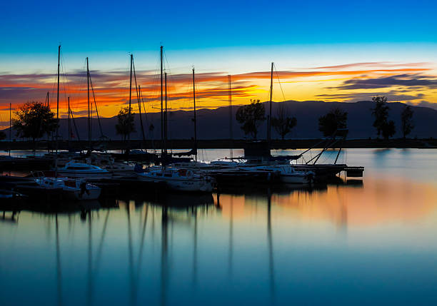
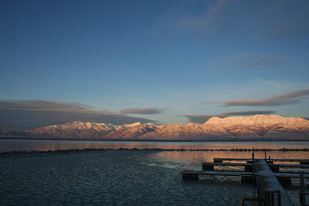
This is a fall sunset at a marina on Utah Lake in Provo, UT.
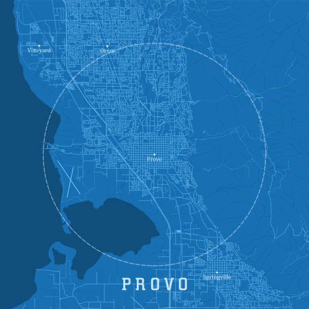
Provo UT City Vector Road Map Blue Text. All source data is in the public domain. U.S. Census Bureau Census Tiger. Used Layers: areawater, linearwater, roads.
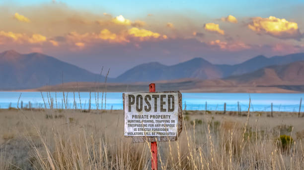
Posted sign against Utah Lake mountain and sky. Old Posted sign prohibiting people from trespassing on the grassy private property near Utah Lake with mountain under a cloudy sky in the background.
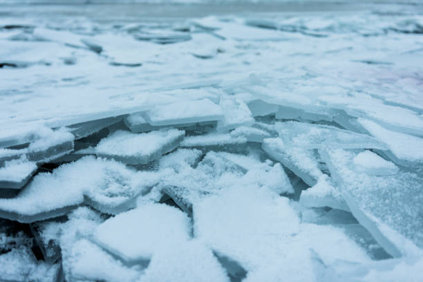
Cracked shards of ice on shore of frozen Utah Lake, USA
Long exposure at sunset. Utah Lake. The water moves back and forth perpetually, softening the image against the rock silhouettes.
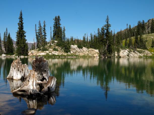
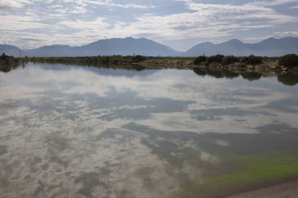
clear mountain lake with decaying stumps and large boulders. majestic vista from higher elevation. bluebird sky and beautiful symmetry in water reflection
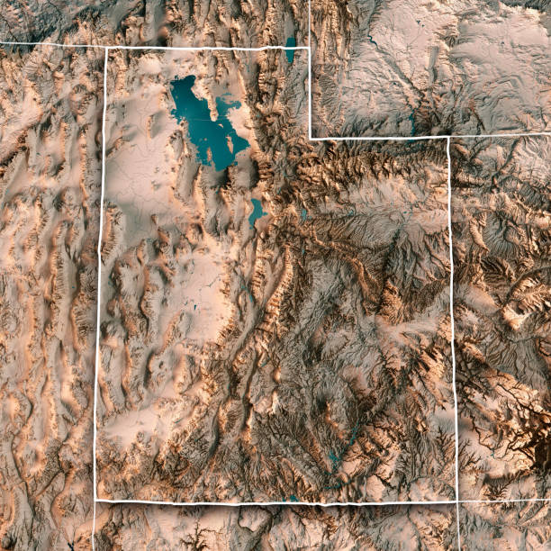
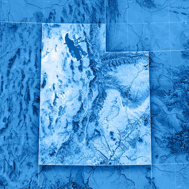
3D Render of a Topographic Map of the State of Utah, USA. All source data is in the public domain. Boundaries Level 1: USGS, National Map, National Boundary Data. https://viewer.nationalmap.gov/basic/#productSearch Relief texture and Rivers: SRTM data courtesy of USGS. URL of source image: https://e4ftl01.cr.usgs.gov//MODV6_Dal_D/SRTM/SRTMGL1.003/2000.02.11/ Water texture: SRTM Water Body SWDB: https://dds.cr.usgs.gov/srtm/version2_1/SWBD/
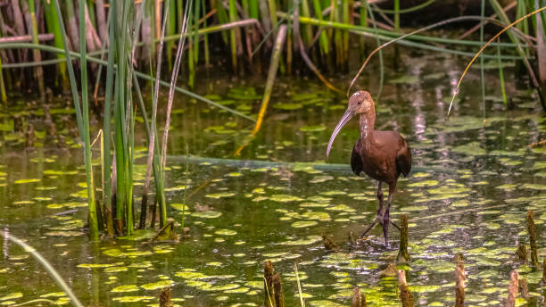
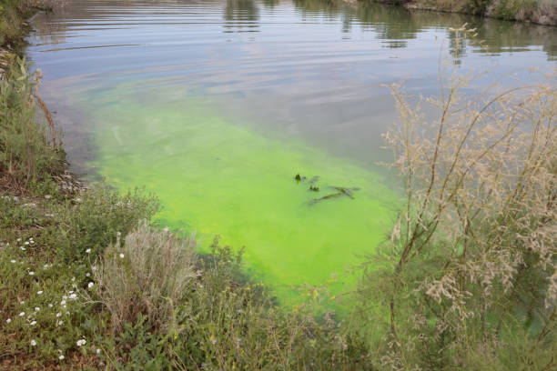
Brown bird with long sharp beak in Lake Utah. A brown bird with long sharp beak perched on the surface of Lake Utah in Provo. Green algae and tall grasses grow on the surface of the freshwater lake.
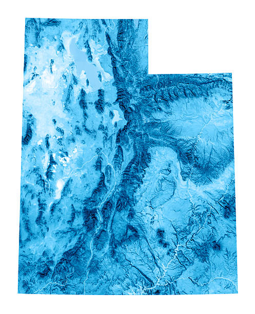
3D render and image composing: Topographic Map of Utah, USA. Isolated on White. High quality relief structure!

Springville Mapleton area from on top of the mountains

A shot of a pond and plants growing in the water in the background of the mountains.
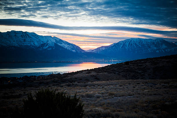
Utah lake sunset scene. Taken February 2015 on the Eastern shore of Utah Lake, Utah County, USA.
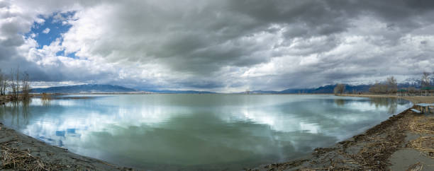
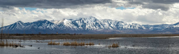
Dramatic cloudscape over calm and reflective Utah Lake with snowcapped mountains in the distance, Utah Lake State Park, Provo, Utah
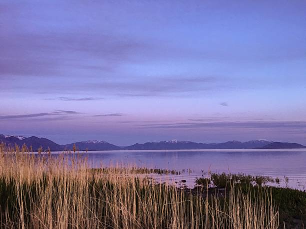
Utah Lake at sunset with feather reed grass in foreground
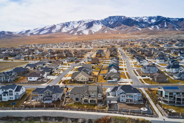
An aerial view of a housing development that sits next to Utah Lake, in Utah County Utah USA.
3D render and image composing: Topographic Map of Utah, USA. Including state borders, rivers and accurate longitude/latitude lines. High resolution available! High quality relief structure!
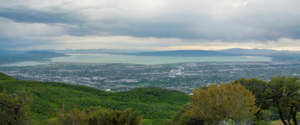
View on Provo in Utah
Here is a shot from the top of Buffalo Peak, this time looking west toward Utah Lake and Utah Valley. Utah County. Pretty dramatic sky in the late afternoon.
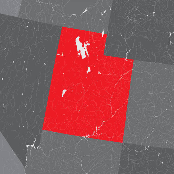
U.S. states - map of Utah. Hand made. Rivers and lakes are shown. Please look at my other images of cartographic series - they are all very detailed and carefully drawn by hand WITH RIVERS AND LAKES.
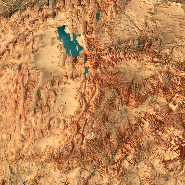
3D Render of a Topographic Map of the State of Utah, USA. All source data is in the public domain. Color texture: Made with Natural Earth. http://www.naturalearthdata.com/downloads/10m-raster-data/10m-cross-blend-hypso/ Relief texture and Rivers: SRTM data courtesy of USGS. URL of source image: https://e4ftl01.cr.usgs.gov//MODV6_Dal_D/SRTM/SRTMGL1.003/2000.02.11/ Water texture: SRTM Water Body SWDB: https://dds.cr.usgs.gov/srtm/version2_1/SWBD/
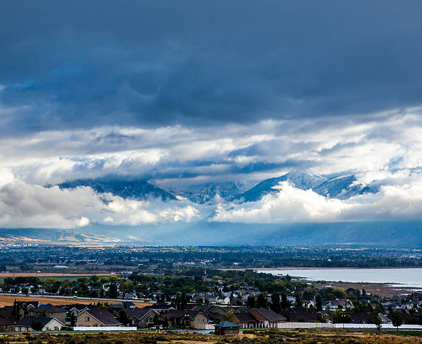
View of Utah County, overlooking Lehi, American Fork, Alpine and Utah Lake.View of Utah County, overlooking Lehi, American Fork, Alpine and Utah Lake.
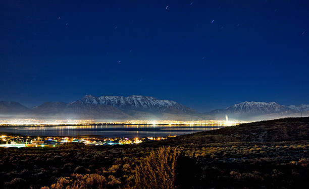
"A view of Utah Lake and County (Lehi, American Fork, etc) and the Wasatch Mountains. Taken from Saratoga SPrings, around 10pm at night with long exposure for small star trails."
Views of Mormon Temple with Utah Lake in thebackground of Utah Valley
Sunrise from West Mountain overlooking Utah County