Kunashir Island Pictures, Images and Stock Photos
Browse 1,600+ kunashir island stock photos and images available, or start a new search to explore more stock photos and images.
Most popular
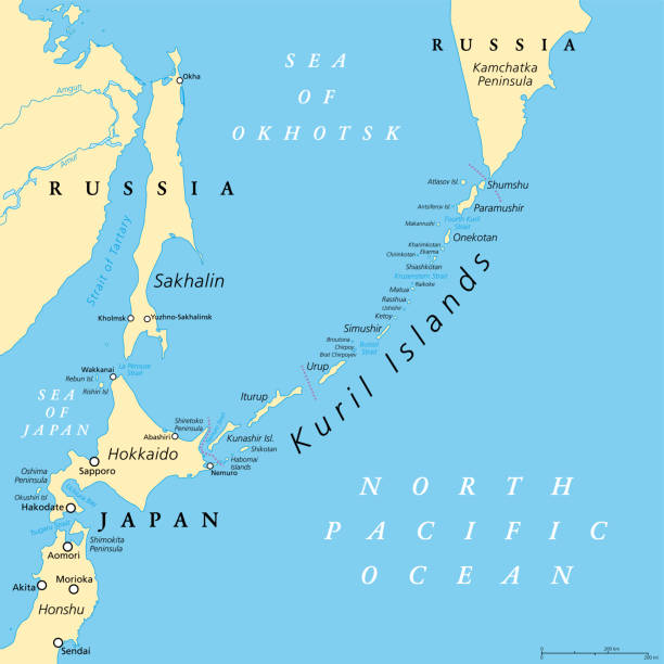
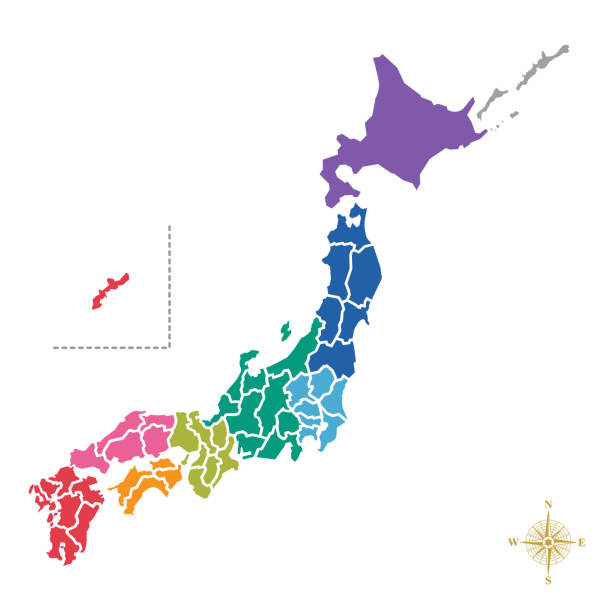
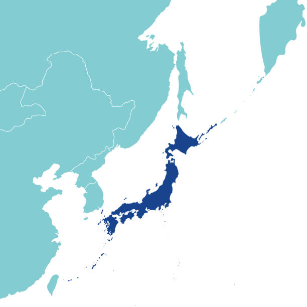
Kuril Islands political map. A volcanic archipelago part of Sakhalin Oblast in the Russian Far East. It stretches from Hokkaido in Japan to Kamchatka Peninsula in Russia. Under Russian administration.
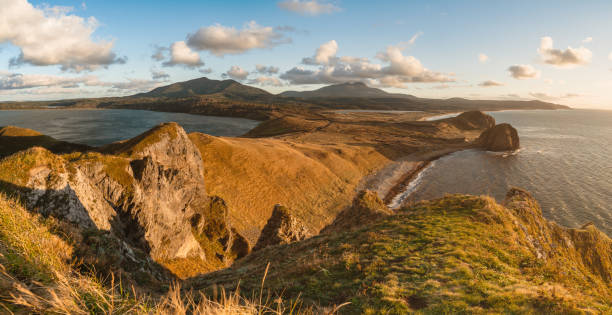
Panoramic aerial view the Kunashir Island, Kurils, Russia.
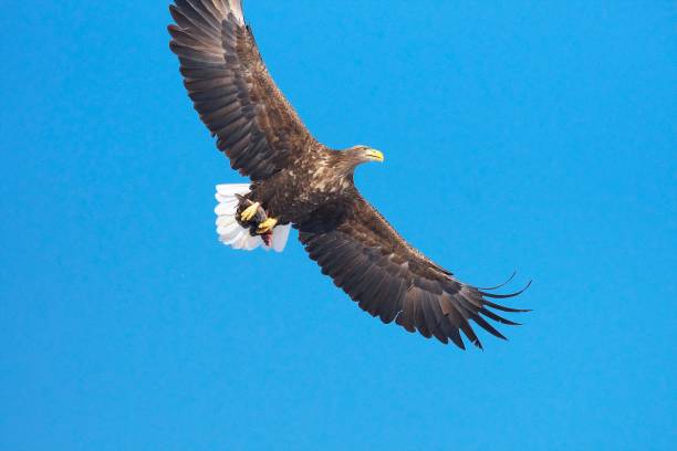
White-tailed eagle Ojirowa flying over Shiretoko, flying over the wisdom floor
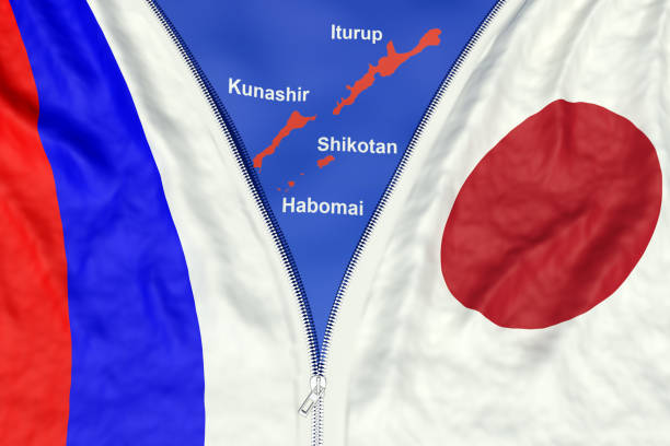
relations between countries, northern territories problem and a peace treaty concept, 3d render
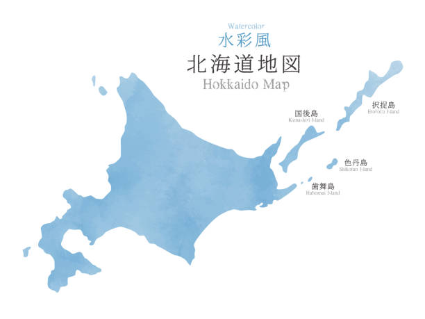
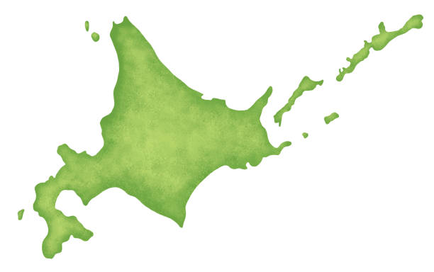
Japan Hokkaido region map with watercolor texture / translation of Japanese "Hokkaido Map" "Watercolor"
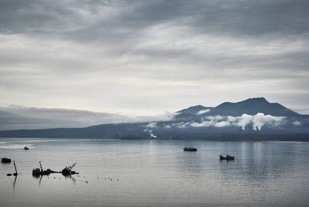
Evening view on volcano of Mendeleev in light fog and ships, dark gloomy sky. Kunashir island, Kuril islands
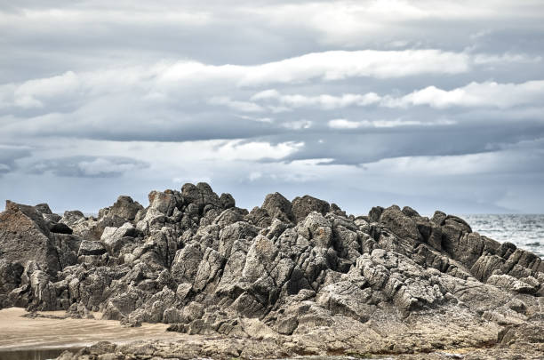
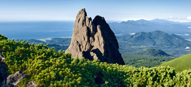
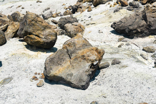
Basalt Is a common extrusive igneous (volcanic) rock formed from the rapid cooling of basaltic lava exposed at or very near the surface of a planet or moon. Flood basalt describes the formation in a series of lava basalt flows.
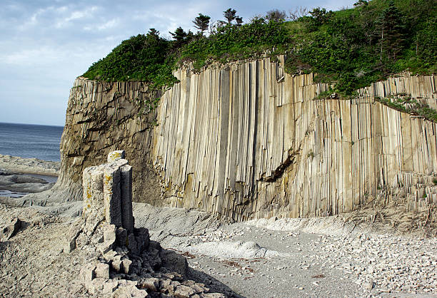
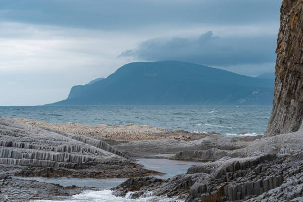
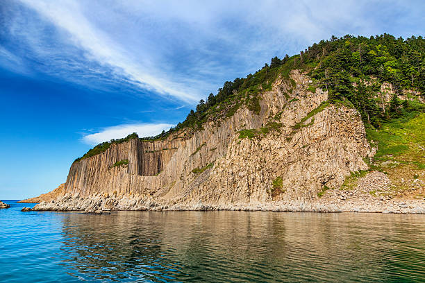
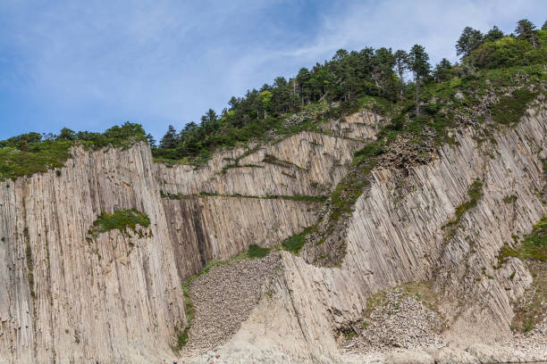
Column basalts formation of Stolbchaty cape at Kunashir at kuril islands, Russia,, and Hokkaido island on background, Japan

Japan Hokkaido region antique map with watercolor texture / translation of Japanese "Hokkaido Map" "Watercolor"
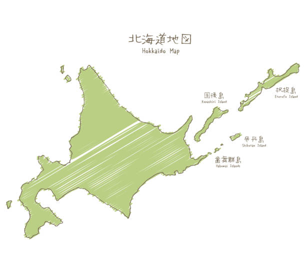
Hand-drawn Hokkaido sketch map, the northernmost of the four main islands of Japan
Golovnin is a caldera located in the southern part of Kunashir Island, Kuril Islands, Russia. It is the southernmost volcano of the Kuril Islands.


Waterfall on Golovinsky Cliff on Kunashir Island, Kuril Islands, Russia

A small waterfall in the forest on the island of Kunashir, Kuril Islands.
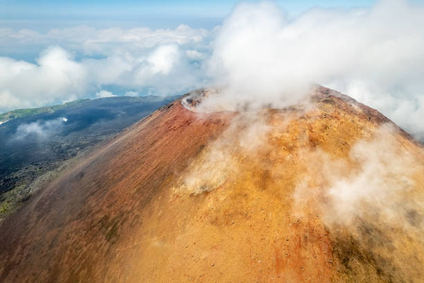
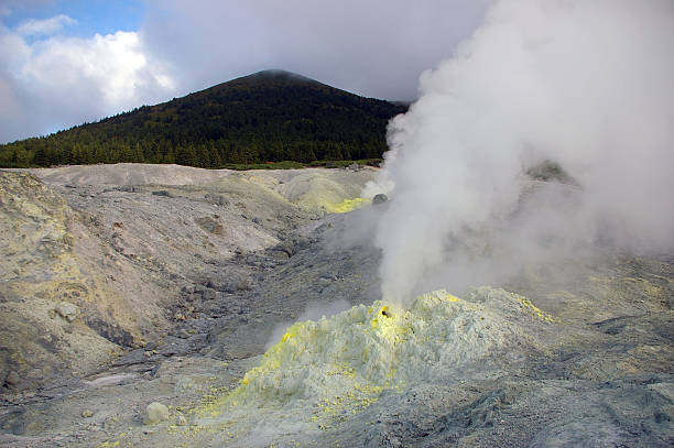
Rock volcanic formation at the top of volcano Mendeleev, plants and blue sky. Kunashir island, Kuril islands, Russia.
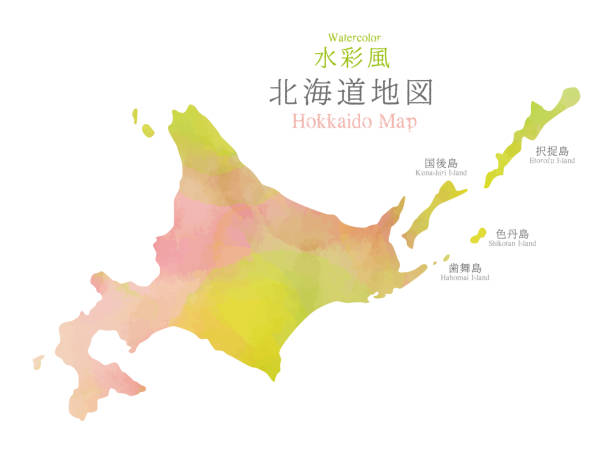
Japan Hokkaido region map with watercolor texture / translation of Japanese "Hokkaido Map" "Watercolor"
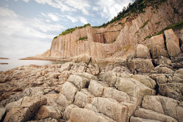
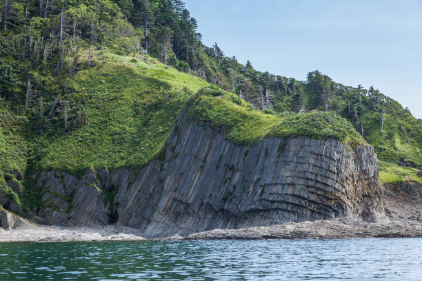
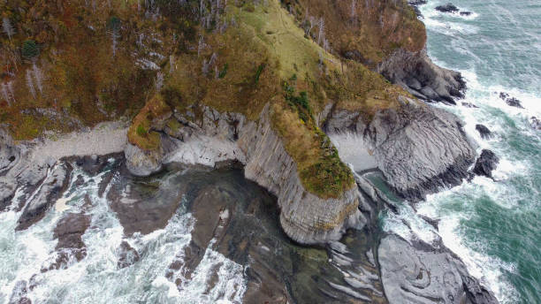
Cape Stolbchaty on the island of Kunashir, Kuril Islands, a unique geological volcanic formation included in the UNESCO list.
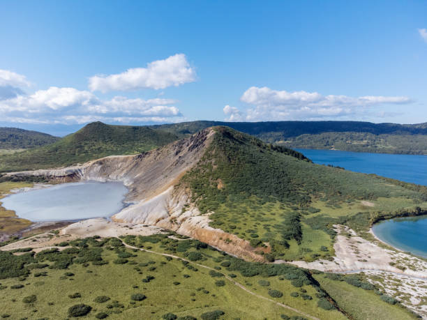
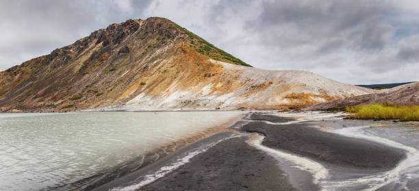
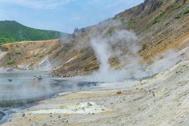
The Boiling and the Hot lake in caldera of Golovnin volcano on Kunashir Island, Kuril Islands, Russia. Aerial view.
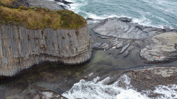
Cape Stolbchaty on the island of Kunashir, Kuril Islands, a unique geological volcanic formation included in the UNESCO list. Aerial drone point of view.
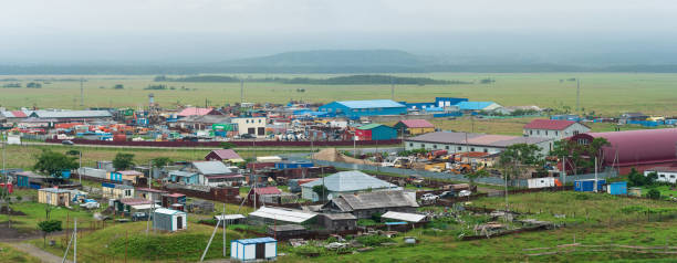
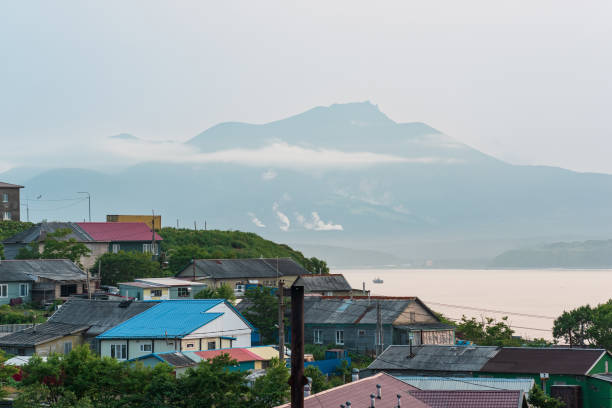
Yuzhno-Kurilsk, Russia - August 03, 2022: aerial view of the industrial zone of the village of Yuzhno-Kurilsk on the island of Kunashir
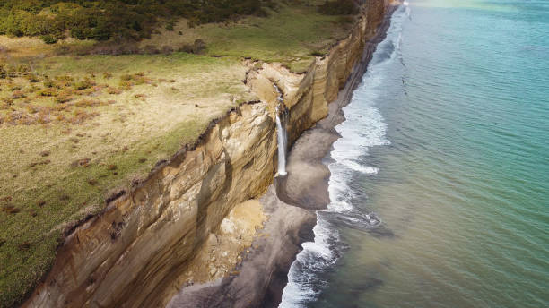
Waterfall on Golovinsky Cliff on Kunashir Island, Kuril Islands, Russia. Aerial photography.
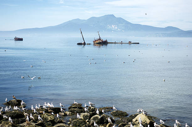
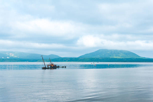
Rusty old shipwreck, the coast of Kunashir island, Kuril island, volcano Mendeleev background. Stones and seagull foreground, blue sky reflected in the sea water. Far east of Russia. Кунашир, Курильские острова.
Cape Stolbchaty is the cape at east shore of Kunashir Island, and place in the state of Sakhalin, Russia
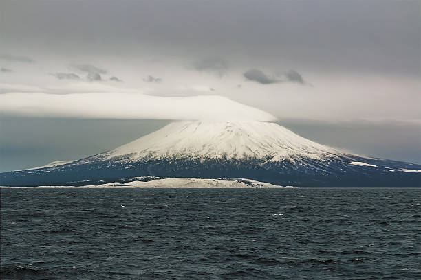
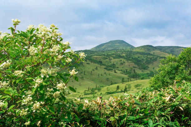
The volcano a tyatya is one of the symbols of the island Kunashir island of the Kurils with a height of 1485 meters, the local population considers it the most beautiful volcano, and its ubiquitous in these parts the image is an unofficial symbol of the Kuril Islands.
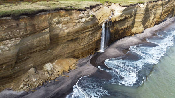
Waterfall on Golovinsky Cliff on Kunashir Island, Kuril Islands, Russia. Aerial photography.
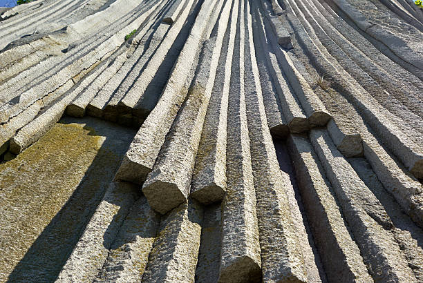
Volcanic rocky formation. basalt lava column, giants causeway, Stolbchaty Cape; Kunashir island in Kuril islands chain
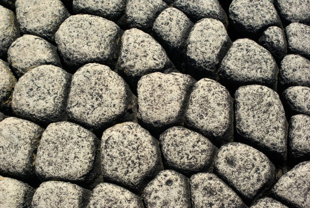
Background natural stone adelomorphous.Pavement.
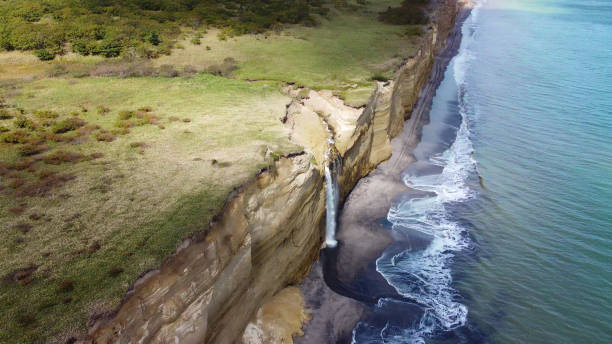
Waterfall on Golovinsky Cliff on Kunashir Island, Kuril Islands, Russia. Aerial photography.
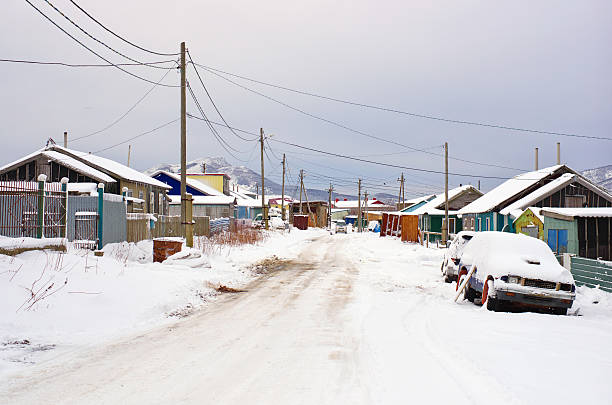
Street village in winter snow. Gray dark gloomy sky. Old wooden house, car, road in winter covered snow. Township Yuzhno-Kurilsk on the southern Kuril islands, Kunashir island, Russia.
Basalt Is a common extrusive igneous (volcanic) rock formed from the rapid cooling of basaltic lava exposed at or very near the surface of a planet or moon. Flood basalt describes the formation in a series of lava basalt flows.
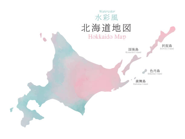
Japan Hokkaido region map with watercolor texture / translation of Japanese "Hokkaido Map" "Watercolor"
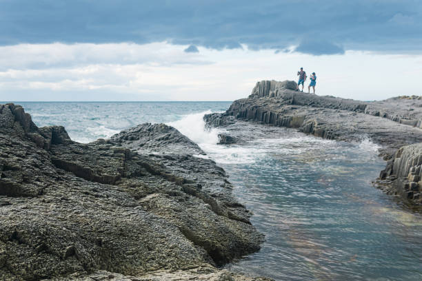
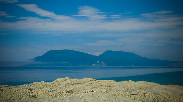
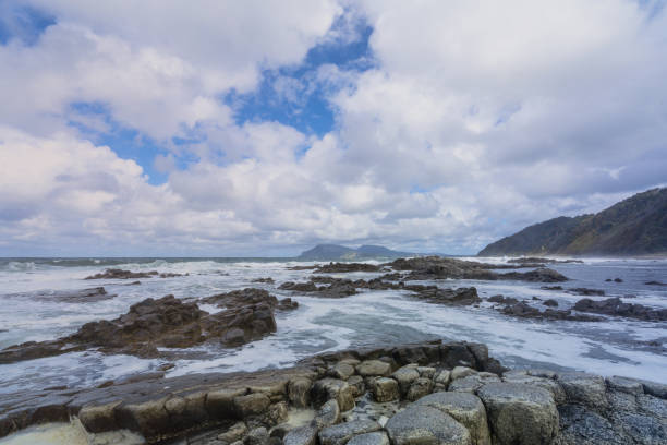
Kunashir, Russia - Juiy 31, 2022: coastal seascape with beautiful columnar basalt rocks at low tide, people is seen in the distance in blur
Basalt Is a common extrusive igneous (volcanic) rock formed from the rapid cooling of basaltic lava exposed at or very near the surface of a planet or moon. Flood basalt describes the formation in a series of lava basalt flows.
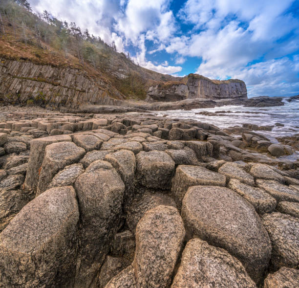
Cape Stolbchaty on the island of Kunashir, Kuril Islands, a unique geological volcanic formation included in the UNESCO list.

Waterfall on Golovinsky Cliff on Kunashir Island, Kuril Islands, Russia. Aerial photography.