
Democratic Republic Of The Congo Pictures, Images and Stock Photos
Browse 10,700+ democratic republic of the congo stock photos and images available, or search for democratic republic of the congo flag or democratic republic of the congo map to find more great stock photos and pictures.
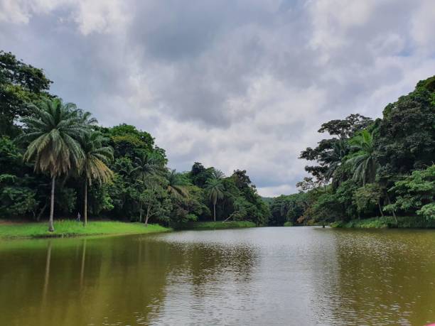
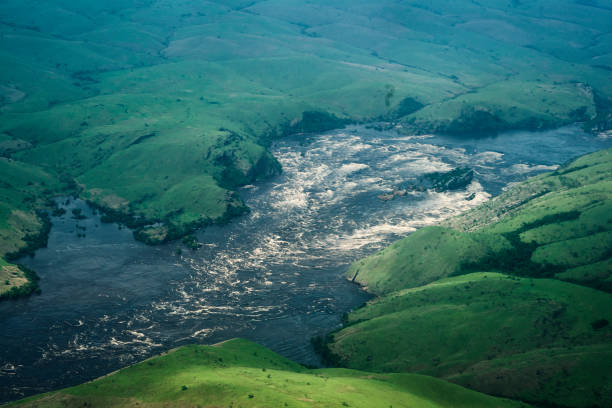
River in the Jungle. Small river in jungle. Under the cloudy sky through hills and mountains the small river proceeds on jungle. Congo. Africa
Flag Vector Series
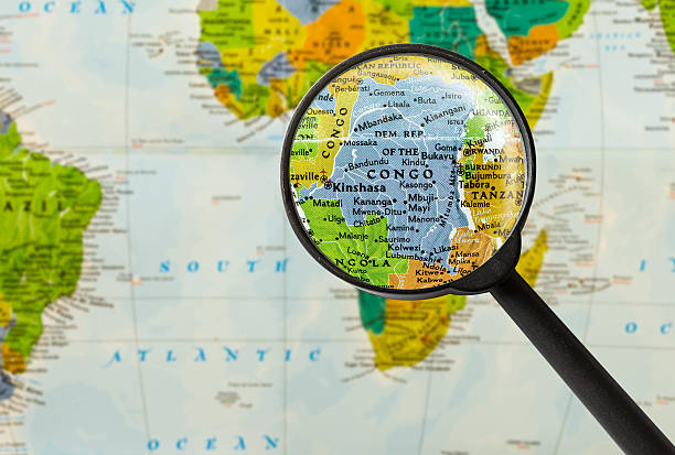
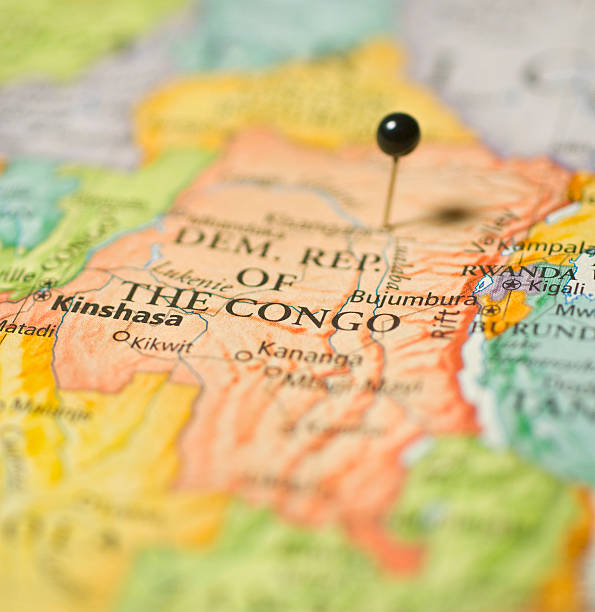
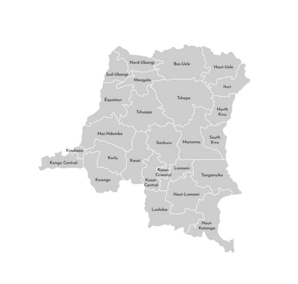
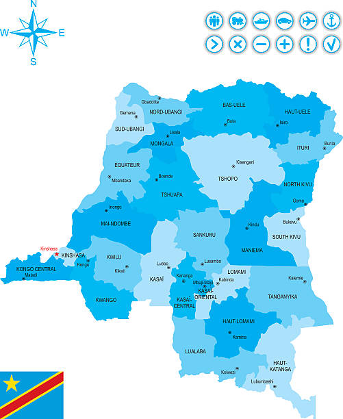
Map of Democratic Republic of the Congo through magnifying glass
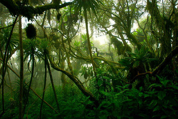
"Evergreen cloud forest on the slopes of Mt. Rwenzori. This type of forests is created by a wet and moisture climate and is characterized by a high incidence of low-level cloud cover - the forest is that dence that there is rarely light coming until to ghe ground.Mt. Ruwenzori (5114 m) is the third highest mountain in Africa, the summit is at the border line between Uganda and the DR Congo."
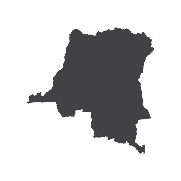
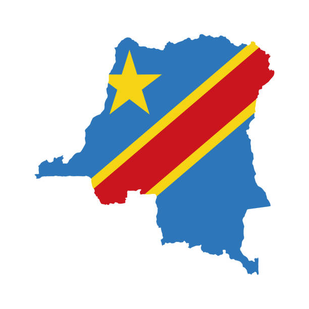
Democratic Republic of the Congo map silhouette on the white background. Vector illustration
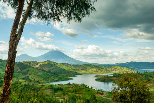
View into the mountain range of the Virunga Volcanoes, a line of 8 volcanoes in the area of the border-triangle between Rwanda, Uganda and the DR Congo. Left: Mount Muhabura (4127m) Right: Mount Gahinga (3474 m) The lake in the right part of the picture is Lake Ruhonda. The Virunga Volcanoes are home of the critically endangered mountain gorilla (gorilla beringei beringei), listed on the IUCN Red List of Endangered Species due to habitat loss, poaching, disease, and war.
Congo River view

Aerial view of a jungle river flowing out of a Bai (saline, mineral lick) in the rainforest of the Congo Basin. This rich mineral clearing is located in the middle of the rainforest where forest elephants, buffalos and gorillas gather in large numbers to reap the benefits of the mineral salts. Odzala National Park, Republic of Congo.
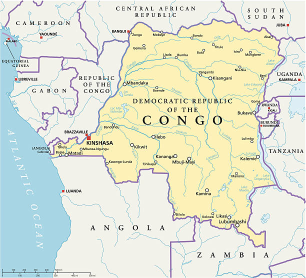
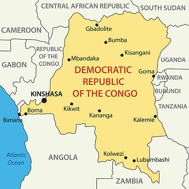
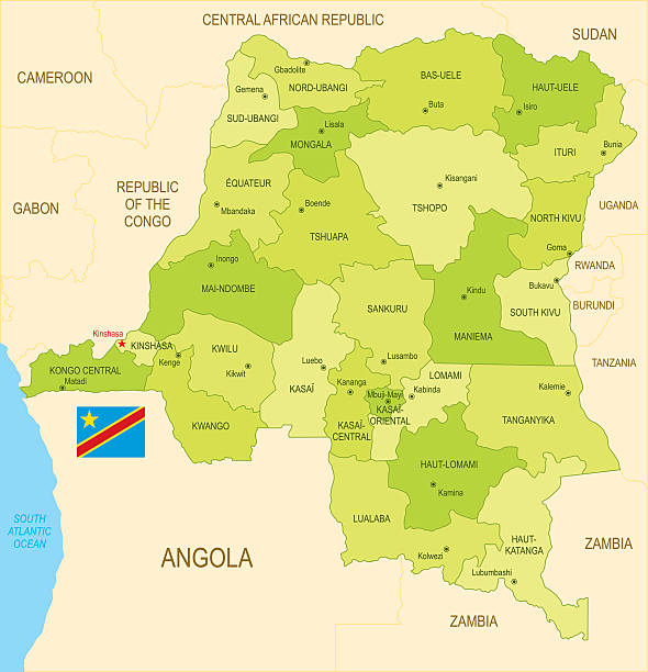
Congo Democratic Republic Political Map with capital Kinshasa, national borders, most important cities, rivers and lakes. Illustration with English labeling and scaling.
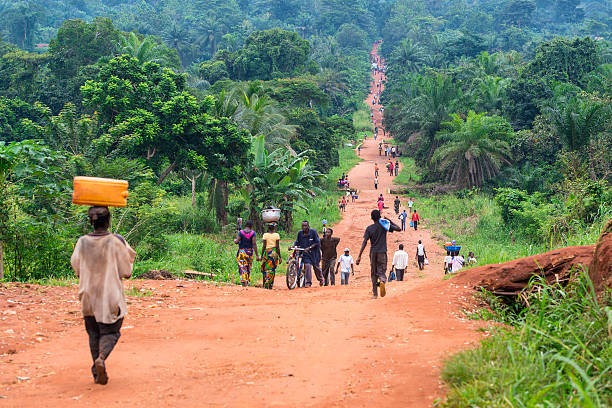
Karawa, Democratic Republic of Congo - August 24, 2013: An upaved road in rural Congo, a lot of people are walking on the road which connects two villages in the province of Equateur. Walking and bicycling is nearly the only way of transportation in the poor regions of Congo. Mostly women are carrying heavy loads of goods on their heads when they are walking to a market place.

Congolese house at the shoreline of Congo river. Equateur province, Democratic Republic of Congo, Africa
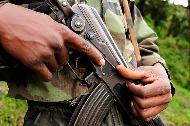
An African soldier grips a Kalashnikov type semi-automatic assault rifle.
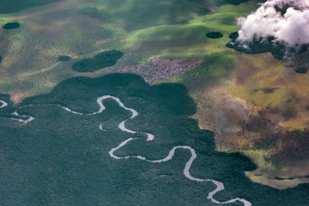
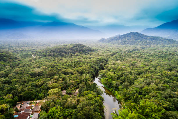
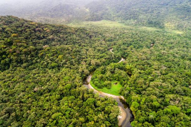
Aerial view of the congo basin,where a meandering river winds through tropical rainforest. republic account,west africa
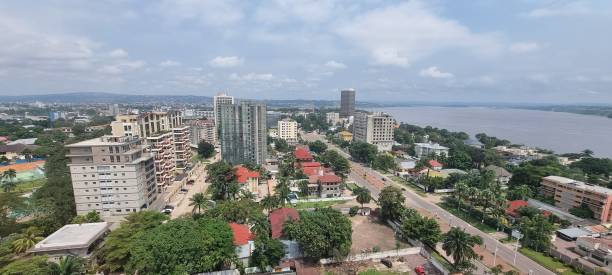
View of Kinshasa
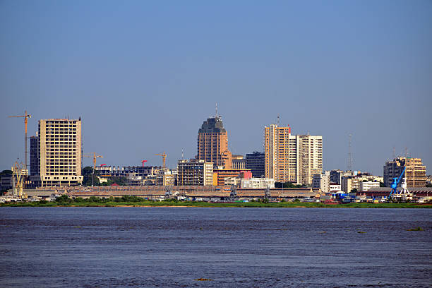
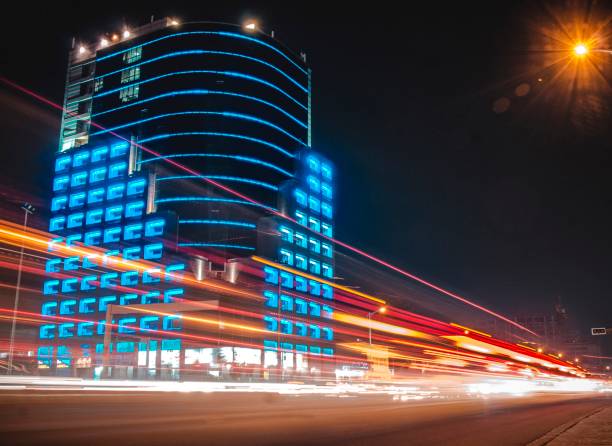
Kinshasa, Democratic Republic of the Congo: business district skyline and the Congo river - sky with copy space - photo by M.Torres
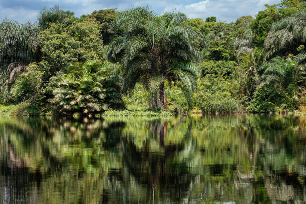
Tropical rainforest including reflection in the water of a branch of the Congo River. Province of Equateur, DR Congo.
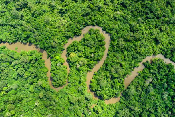
Aerial view of an meandering jungle river in the rainforest of the Congo Basin. Odzala National Park, Republic of Congo.
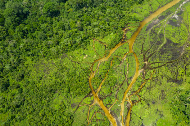
Aerial view of a Bai (saline, mineral lick) in the rainforest of the Congo Basin. This rich mineral clearing is located in the middle of the rainforest where forest elephants, buffalos and gorillas gather in large numbers to reap the benefits of the mineral salts. Odzala National Park, Republic of Congo.
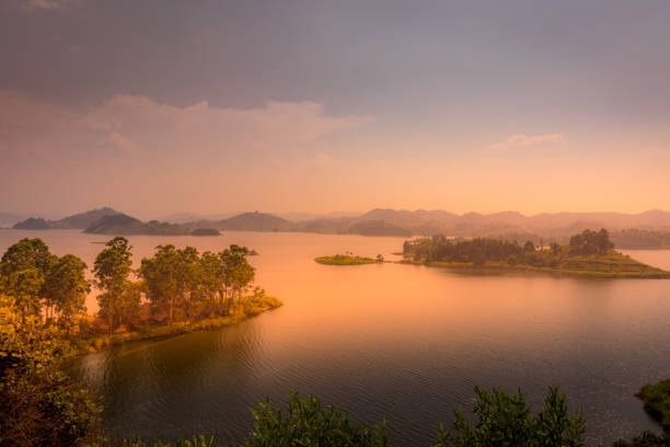
Lake Mutanda at sunset with view on the volcanoes mount Muhavuru and mount Gahinga in East Africa, along the border of Rwanda and Uganda. Horizontal.
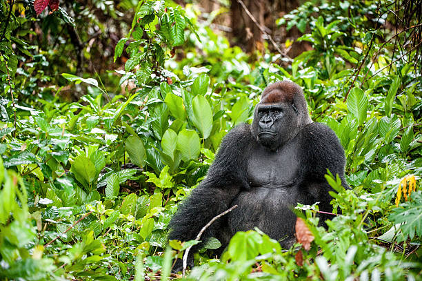
Portrait of a western lowland gorilla (Gorilla gorilla gorilla) close up at a short distance. Silverback - adult male of a gorilla in a native habitat. Jungle of the Central African Republic
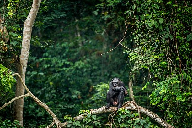
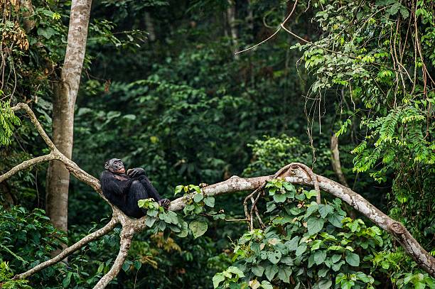
Bonobo on the branch of the tree in natural habitat. Green natural background. The Bonobo ( Pan paniscus), called the pygmy chimpanzee. Democratic Republic of Congo. Africa
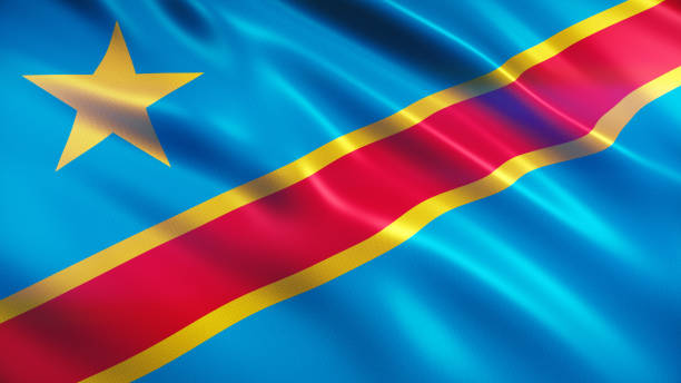
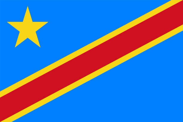
3d render Democratic Republic Of The Congo Flag (Close-up)

Amazing nature in african congo, wild and nature in africa, beautiful landscape view, green jungle and mountains
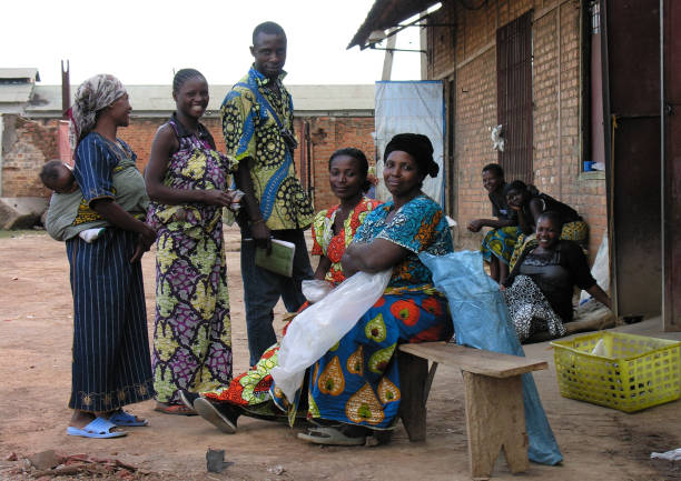
Lubumbashi, Democratic Republic of Congo, circa May 2006: Group of people smiling for the camera in an abandoned factory. In the industrial quarter of the city there are several former factories now used as improvised living quarters
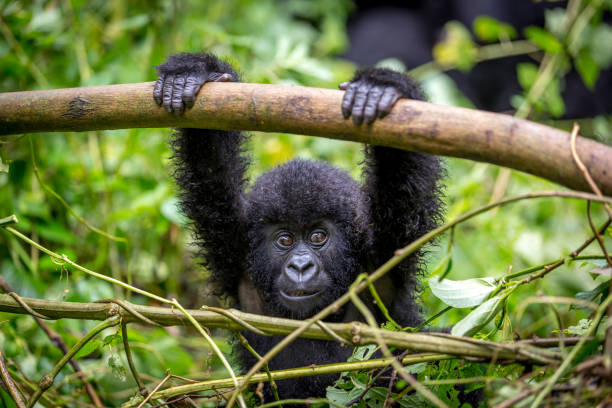
A baby gorila inside the Virunga National Park, the oldest national park in Africa. DRC, Central Africa.

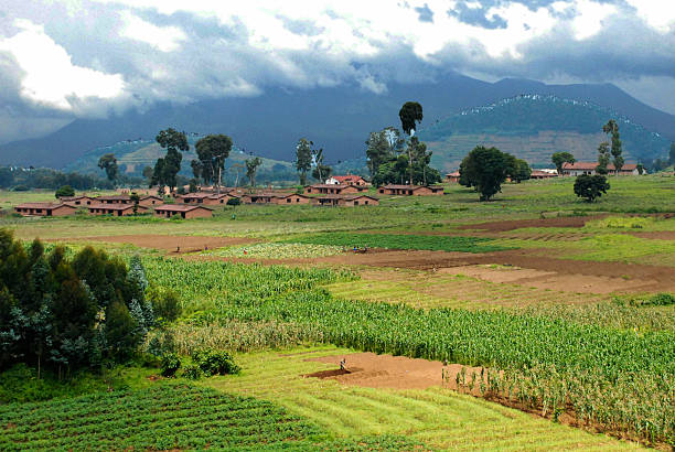
Typical fields of small farmers in Central Africa - because the population in Rwanda is having the highest denisty in Africa every single square meter of the country is used for agriculture. Location: Virunga Mountains, close to the border to Uganda and DR Congo.
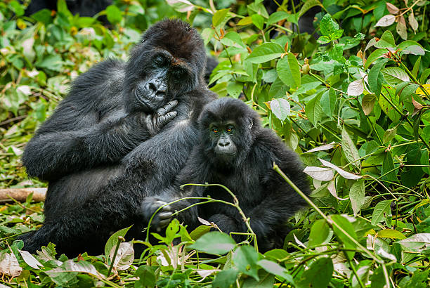
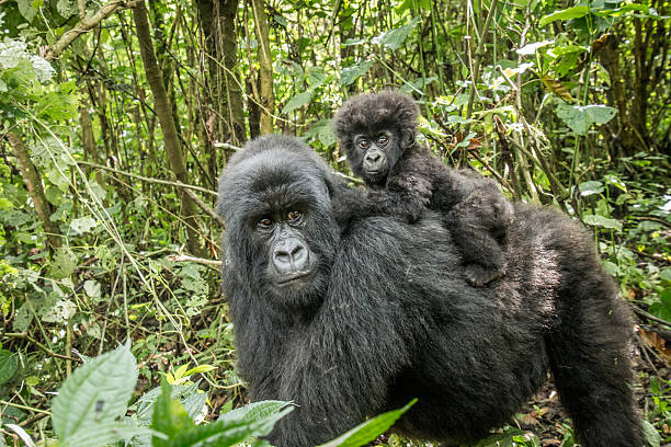
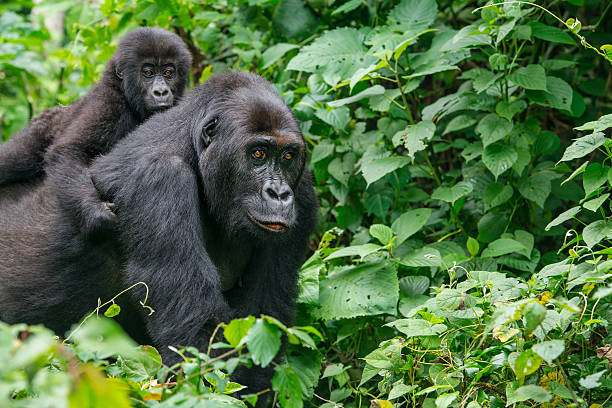
A female gorilla with her son, Eastern Lowland Gorillas (gorilla beringei graueri).
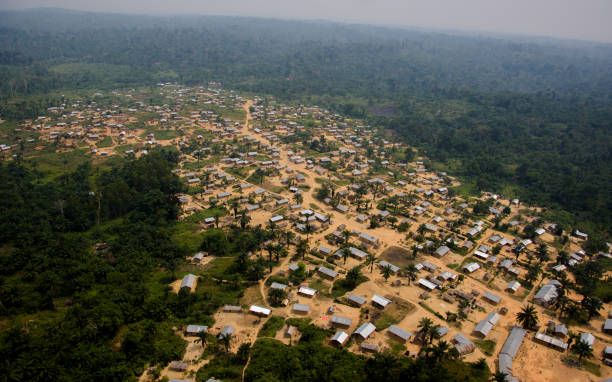
Aerial view from helicopter between Beni and Butembo, Democratic Republic of the Congo
Bonobo (Pan Paniscus) on a tree branch. Democratic Republic of Congo. Africa
Lake my valley Kinshasa
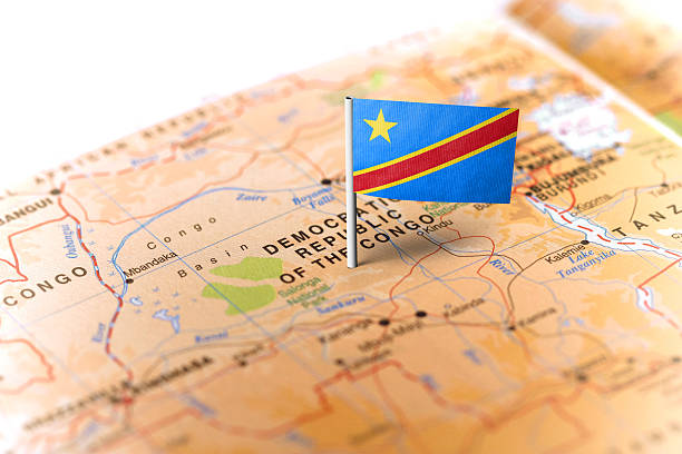
The flag of Democratic Republic of Congo pinned on the map. Horizontal orientation. Macro photography.


Wild mountain gorilla in the nature habitat. Very rare and endangered animal close up. African wildlife.Big and charismatic creature. Mountain gorillas. Gorilla beringei beringei.
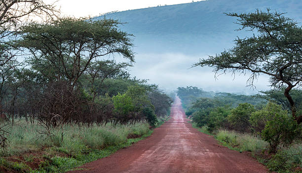
An upaved road in rural Congo, province of Equateur.
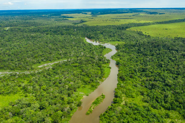
Aerial view of an meandering jungle river in the rainforest of the Congo Basin. Odzala National Park, Republic of Congo.
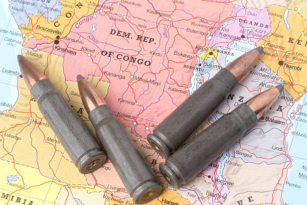
Four bullets on the geographical map of Democratic Republic of the Congo. Conceptual image for war, conflict, violence.
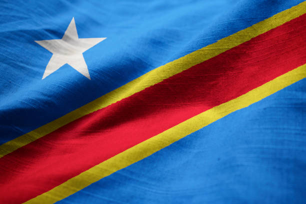
Closeup of Ruffled Democratic Republic of the Congo Flag, Democratic Republic of the Congo Flag Blowing in Wind
Aerial View of the famous Livingstone Falls at the lower Congo River - this is the last navigable point before the Livingstone rapids make the river impassable for a long stretch upriver. The falls are named for the explorer David Livingstone and are providing a difference in altitude of 270 meters over a distance of 350 km. Congo river is the deepest river of the world and the largest river in Africa. NOTE - this are the ONLY images of the full Livingstone Falls at ALL stock agencies worldwide.
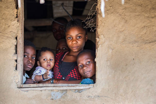
Ndobo, Democratic Republic of Congo - August 27, 2013: : Young Congolese woman with fancy hairstyle togehter with her children, they are looking out of the window of their house at the shores of Congo River.
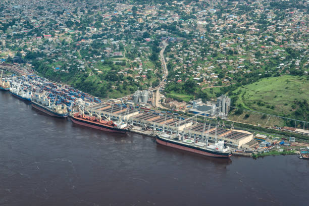
The sea port of Matadi at the Congo River. Matadi is the chief sea port of the Democratic Republic of the Congo, it is the last navigable point before rapids make the river impassable for a long stretch upriver. Matadi is also the capital of the Kongo Central province, it was founded in 1879 by Sir Henry Morton Stanley.
Baby Mountain gorilla sitting on his mother in the Virunga National Park, Democratic Republic Of Congo.
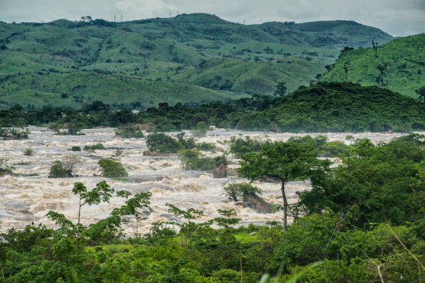
The famous Livingstone Falls at the lower Congo River - this is the last navigable point before the Livingstone rapids make the river impassable for a long stretch upriver. The falls are named for the explorer David Livingstone and are providing a difference in altitude of 270 meters over a distance of 350 km. Congo river is the deepest river of the world and the largest river in Africa.
http://dikobraz.org/map_2.jpg
Young Eastern Lowland Gorilla (gorilla beringei graueri) is riding on the back of the mother in the green jungle. Location: Kahuzi Biega National Park, South Kivu, DR Congo, Africa. Shot in wildlife.
http://dikobraz.org/map_2.jpg

Karawa, Democratic Republic of Congo - August 24, 2013: An unpaved road in rural Congo, a lot of people are walking on the road which connects two villages in the province of Equateur. Walking and bicycling is nearly the only way of transportation in the poor regions of Congo. Mostly women are carrying heavy loads of goods on their heads when they are walking to a market place.
Volcanic cinder cones and farming in rich volcanic soils overlooking former AUCA campus Mudende Rwanda abandoned and derelict buildings left after the genocide. In the background are clouds roiling over Nyiragongo Volcano in the Democratic Republic of Congo across the border from Rwanda.
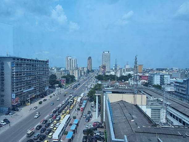
The biggest boulevard in Kinshasa, Congo
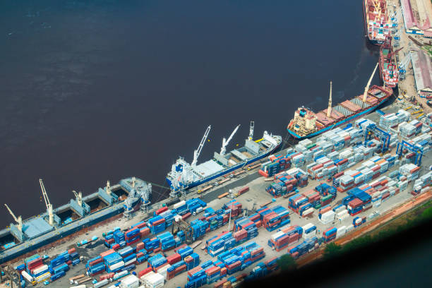
The sea port of Matadi at the Congo River. Matadi is the chief sea port of the Democratic Republic of the Congo, it is the last navigable point before rapids make the river impassable for a long stretch upriver. Matadi is also the capital of the Kongo Central province, it was founded in 1879 by Sir Henry Morton Stanley.
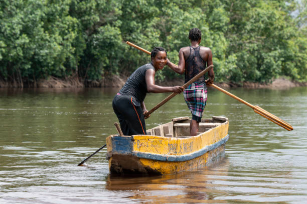
Muanda, Democratic Republic of Congo - December 12, 2014: Two young congolese women are diving in the Congo river for clams from her dugout canoe (pirogue). The mussel meat is then collected on skewers and bought at the markets of the nearby towns of Muanda and Boma. Location: Mangrove National Park at the estuary of the Congo River, this is a veritable maze of islands and channels.