Cayman Islands Pictures, Images and Stock Photos
Browse 9,700+ cayman islands stock photos and images available, or search for cayman islands flag or cayman islands map to find more great stock photos and pictures.
cayman islands flag
cayman islands map
cayman islands beach
grand cayman islands
cayman islands waterfall
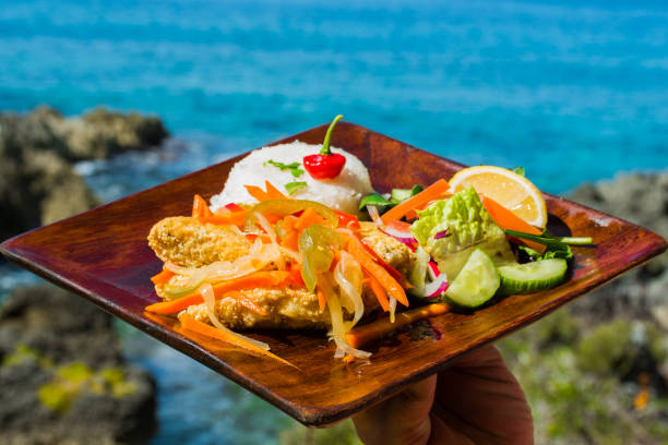
cayman islands business
cayman islands boat
cayman islands stingray
east end cayman islands
cayman islands home
cayman islands aerial
cayman islands bank
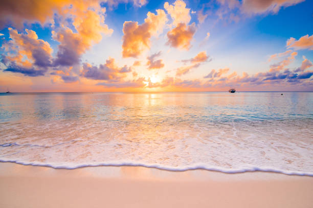
cayman islands sunset
cayman islands animal sculptures
cayman islands diving
cayman islands conch
cayman islands cityscape
cayman islands buildings
cayman islands house
cayman islands city
george town cayman islands
cayman islands stingray city
cayman islands scuba
cayman islands turtle
cayman islands coral
cayman islands snorkeling
cayman islands wildlife
cayman islands underwater
cayman islands starfish
cayman islands money
Most popular
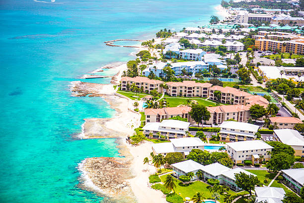
Stunning aerial view of the coastline of popular vacation location Grand Cayman with it's clear aqua water and beautiful sand beaches. Hotels line the beach which stretches for miles. It is lush and tropical. It's a sunny perfect day in the Caribbean.
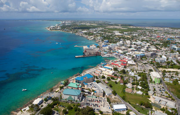
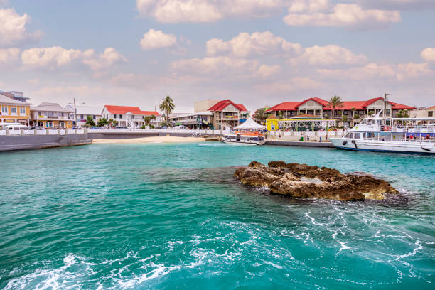
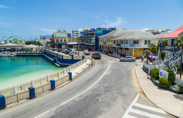
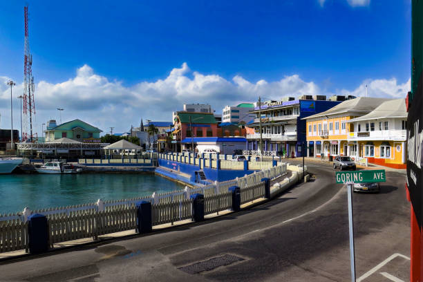
Downtown Georgetown, financial district
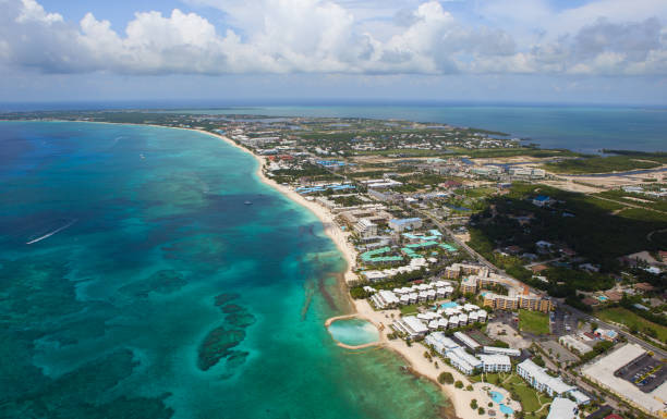
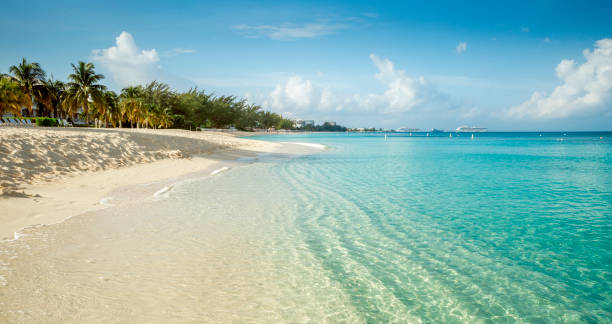
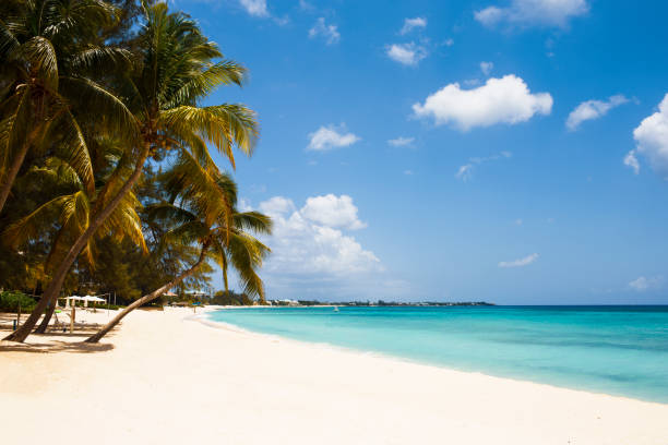
Seven Mile beach coastline

Georgetown, Grand Cayman, from the sea.
Dramatic Sky
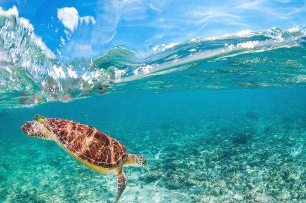
Above/Below underwater shot of a free swimming sea turtle, Grand Cayman.
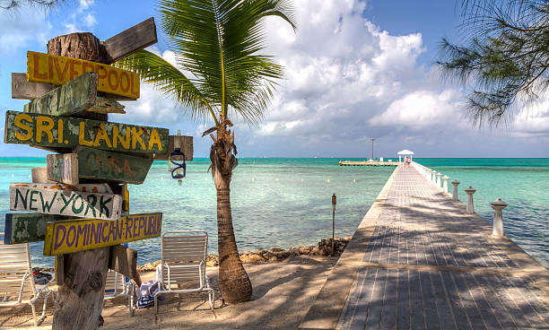
A signpost with various destinations next to the blue-green crystal clear waters off Rum Point dock on the north side of Grand Cayman, Cayman Islands, BWI
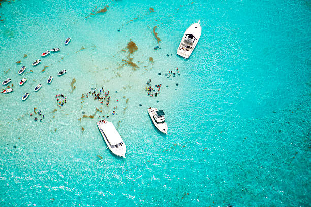
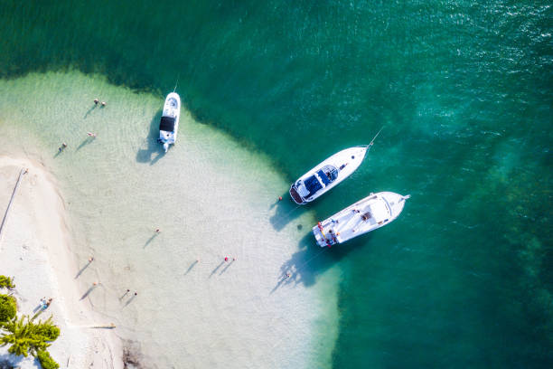
Aerial view of boats and stingrays in water at Stingray City on Grand Cayman, Cayman Islands. It is a shallow area where visitors can swim with and touch the stingrays in the water. It's a beautiful tropical day for this popular attraction. Taken with a Canon 5D Mark 3. rm
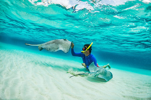
Male snorkeler petting stingray fishes in shallow turquoise water.

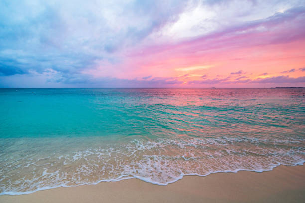
Sunset over the Caribbean Sea by George Town, Grand Cayman
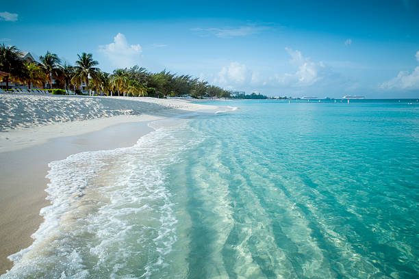
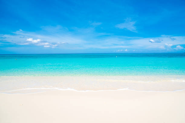
Paradise beach on a tropical caribbean island

Grand Cayman taken from a Lear 55 on departure
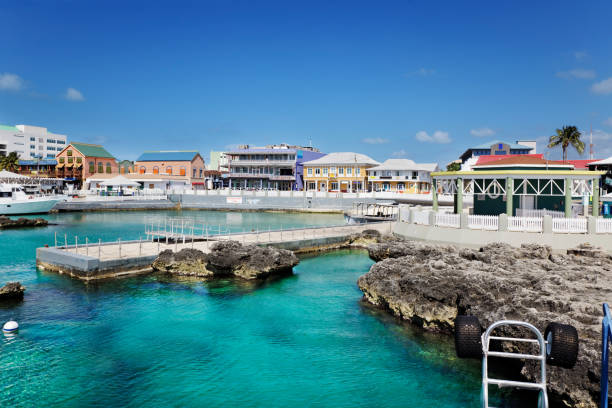
Waterfront shopping area in Georgetown, Grand Cayman
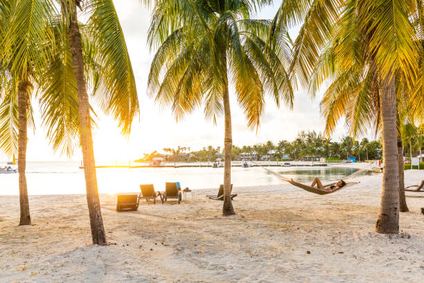
Caribbean Beach
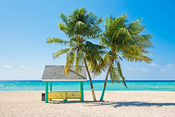
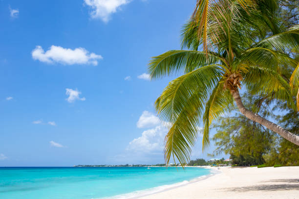
Caribbean beach with palm trees, Grand Cayman, Cayman Islands.
Tropical sandy beach with coconut palms and turquoise water. Caribbean Sea

A Dock leading to an Island of Palm Trees

Seven Mile Beach with Palm Tree and Caribbean turquoise water

A stunning aerial view of the popular vacation location Grand Cayman. Shot taken over land looking out to ocean and horizon. There is an inland waterway in the middle that leads to the coast. It's a sunny perfect day in the Caribbean.
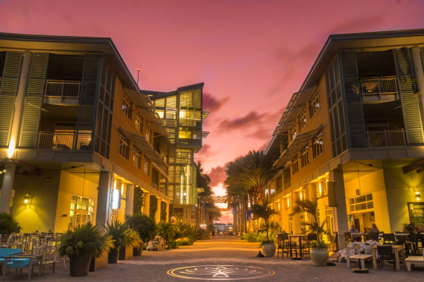
Illuminated pedestrian zone at sunset in a waterfront town of Grand Cayman
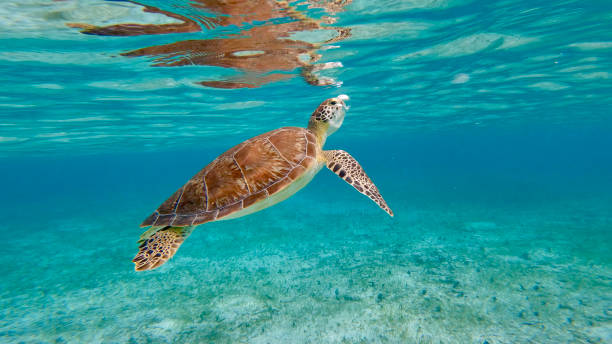
Turtle rising to the surface
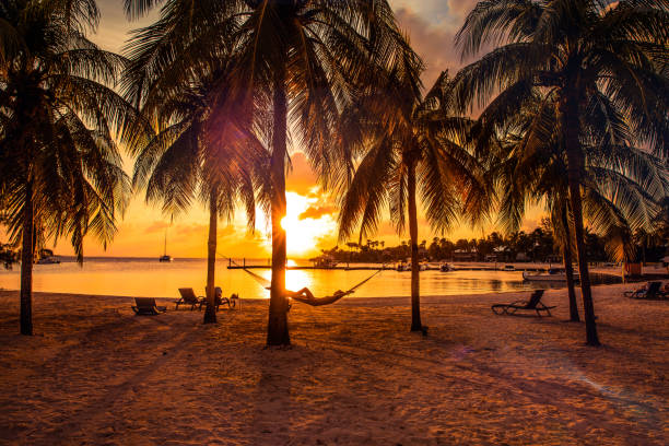
Blue sky, palm trees and tropical sea.

Grand Cayman map. Island silhouette icon. Isolated Grand Cayman black map outline. Vector illustration.
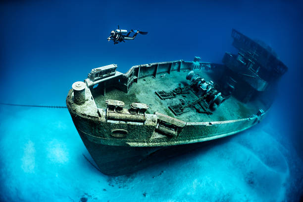
The ex-USS Kittiwake was a Submarine Rescue vessel (ASR-13). She was part of the 6th Submarine squadron (SUBRON 6) home ported at the Destroyer-Submarine piers in Norfolk, VA. The location for sinking the Kittiwake is at the northern end of Seven Mile Beach, on the West or lee side of Grand Cayman.

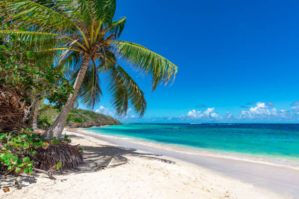
View of nice tropical beach with palm tree. Holiday and vacation concept.

aerial of boats and people enjoying snorkeling i the crystal clear water in Kenya

George Town, Cayman Islands - August 1, 2016: Welcome sign with the official coat of arms of the Cayman Islands on the docks at George Town with the Carnival Lines cruise ship Carnival Glory at anchor off the harbor.

A pair of cayman island parrots in the grand Cayman
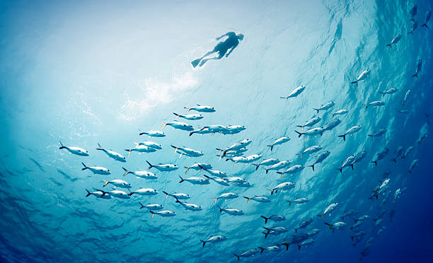
Snorkel swimming on the surface with school of fishes below.


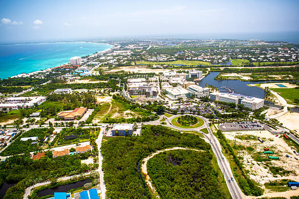
A stunning aerial view over land of the coastline of popular vacation location Grand Cayman with it's clear aqua water and beautiful sand beaches. The beach stretches for miles. It is lush and tropical. It's a sunny perfect day in the Caribbean.

Stunning aerial view of the coastline of popular vacation location Grand Cayman with it's clear aqua water and beautiful sand beaches. Hotels line the beach which stretches for miles. It is lush and tropical. It's a sunny perfect day in the Caribbean.
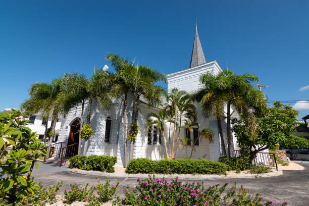
White Catholic Church in downtown centre of Georgetown on walking distance of the cruise terminal, Grand Cayman, Cayman Islands.

Footprints, Palm tree, beach, sand and sunset.

A tree with Christmas Lights at dusk on Seven Seas Beach in Grand Cayman
Georgetown, Grand Cayman Island – June 06, 2017: Tourist walking the street and shopping in the popular cruise ship port of Georgetown in Grand Cayman Islands. In the background is the popular bar and restaurant Margaritaville owned by the singer Jimmy Buffett.
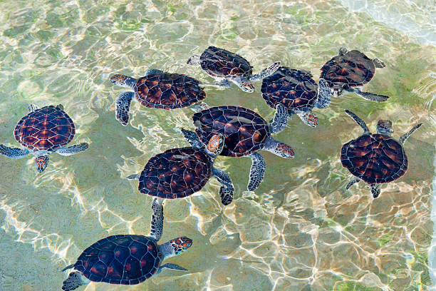
Cayman Turtle Farm is a turtles breeding, where you can observe these animals in their various life stages, from nursery to big tanks for mature specimens. Over 28,000 hatchlings have been released into the waters surrounding the Cayman Islands: since the farm has begun this project, the sightings of green sea turtles by divers and residents living along the coast have increased.
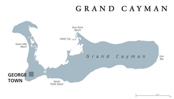
Grand Cayman political map with capital George Town. Largest of the Cayman Islands. British Overseas Territory in western Caribbean Sea. English labeling. Gray illustration on white background. Vector
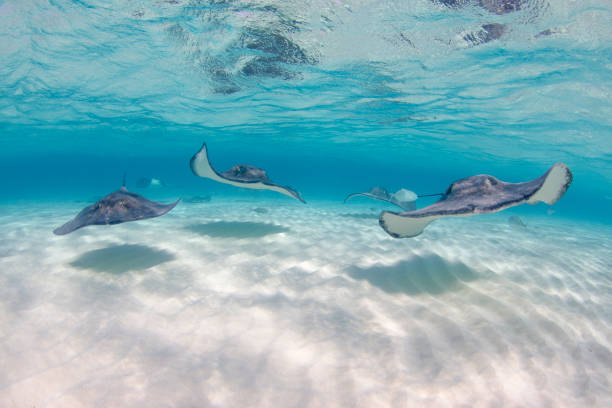
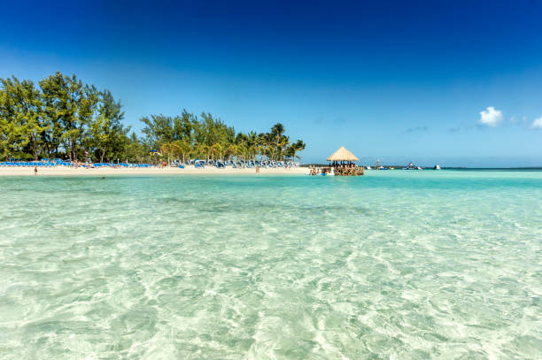
Snorkeling with the Stingrays at tourist hotspot Stingray City
Grand Cayman Famous Seven Mile Beach


Beaitiful view of some of the most beautiful beaches in the Caymond Island in George Town.
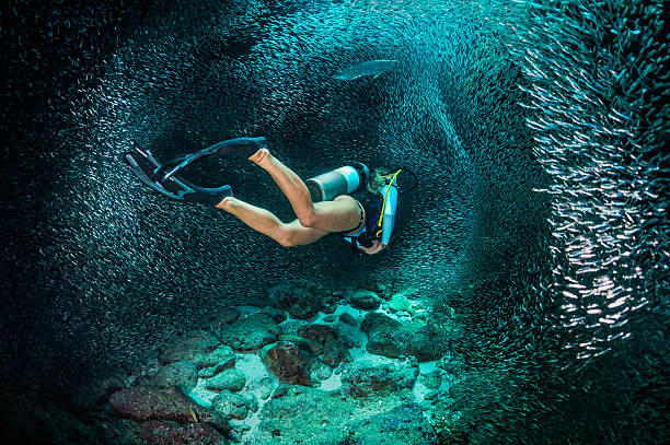
Female scuba diver swimming with the school of fishes.
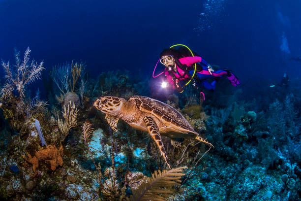
12 June 2014: SCUBA diver Sally Herschorn encounters a Hawksbill Sea Turtle (Eretmochelys imbricata) as she explores the wall and reef scenery at Hammerhead Hill, on the North Shore of Grand Cayman Island. Located in the British West Indies in the Caribbean, the Cayman Islands are renowned for excellent scuba diving, snorkeling, beaches and banking. Mandatory Credit: Ed Wolfstein Photo *** RAW (NEF) Image File Available ***
Georgetown, Cayman Islands - August 1, 2015: Road curves around the small harbor in the center of Georgetown on Grand Cayman Island.


Jetty on the Caribbean sea on Grand Cayman North side

The ex-USS Kittiwake was a Submarine Rescue vessel (ASR-13). She was part of the 6th Submarine squadron (SUBRON 6) home ported at the Destroyer-Submarine piers in Norfolk, VA. The location for sinking the Kittiwake is at the northern end of Seven Mile Beach, on the West or lee side of Grand Cayman.

Yellow Kayak under a palm tree on Seven Mile Beach
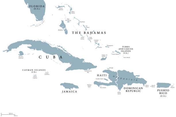
Greater Antilles political map with English labeling. Grouping of the larger islands in the Caribbean Sea with Cuba, Hispaniola, Puerto Rico, Jamaica and the Cayman Islands. Gray illustration. Vector.
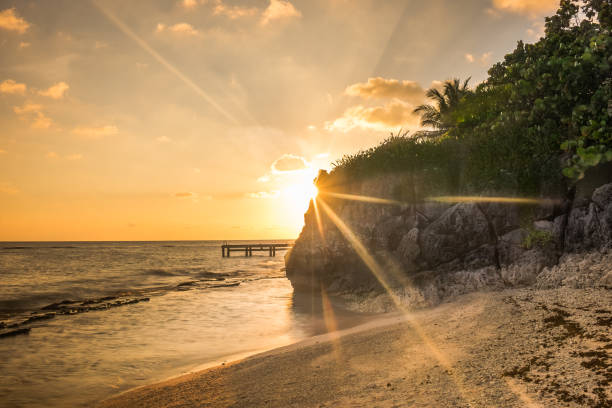
Sunset on Spotts Beach by the Caribbean Sea, Grand Cayman