
Description
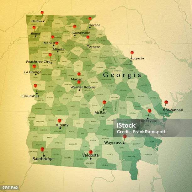
3D Render of a Map of Georgia State with Straight Pins at the Position of important Cities. Vintage Color Style. Very high resolution available! All source data is in the public domain. http://www.naturalearthdata.com/about/terms-of-use/ Made with Natural Earth: Internal Administrative Boundaries, Populated Places http://www.naturalearthdata.com/downloads/10m-cultural-vectors/